For historical information only, do not use for navigation or aviation purposes!
| Coordinates | N492652 E0170802 (WGS84) Google Maps |
| Elevation | 705 ft |
| Location indicator | LKPV |
The history of the Cold War airfields: Prostějov
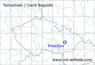
Location of airfield
2 km south of Prostejov.
During World War II
Use
Proßnitz air base.
Situation
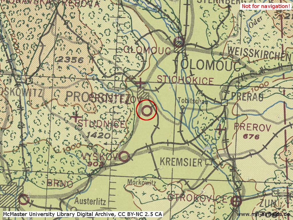
Prossnitz Air Base in World War II on a US map from 1943
Source: McMaster University Library Digital Archive, License: Creative Commons Attribution-NonCommercial 2.5 CC BY-NC 2.5 CA
During the Cold War
Use
Military helicopter base.
Overview
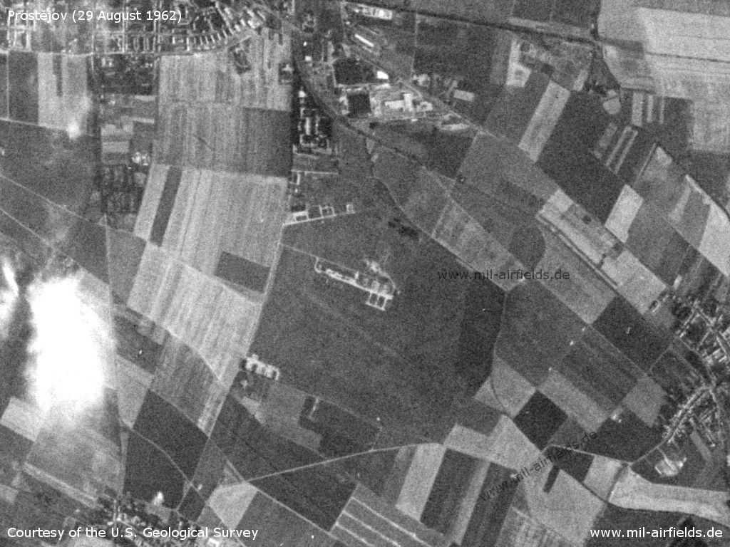
Prostějov Airfield on a US satellite image from 29 August 1962
Source: U.S. Geological Survey
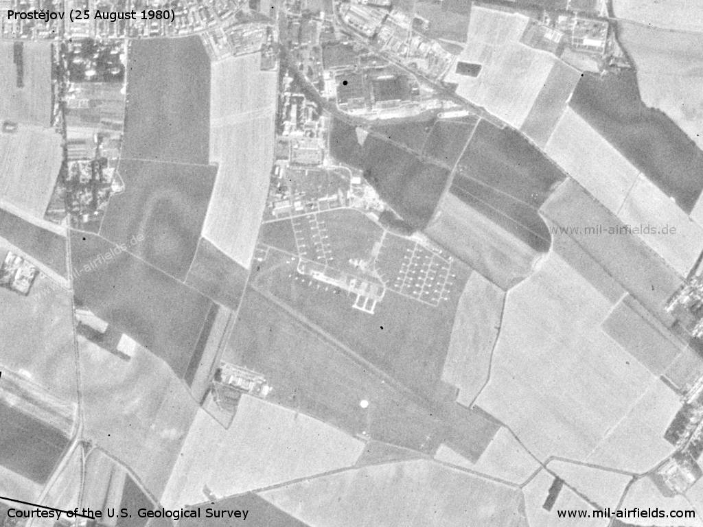
Prostějov Airfield on a US satellite image from 25 August 1980
Source: U.S. Geological Survey
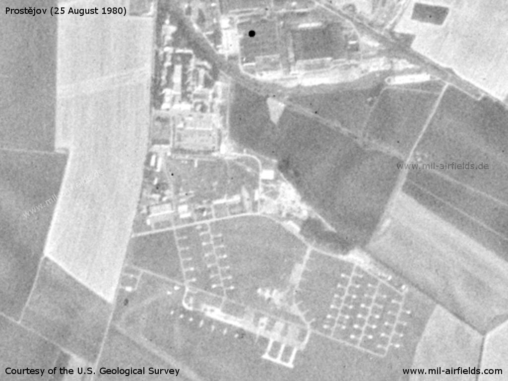
Northern part with barracks and helicopter parking pads
Source: U.S. Geological Survey
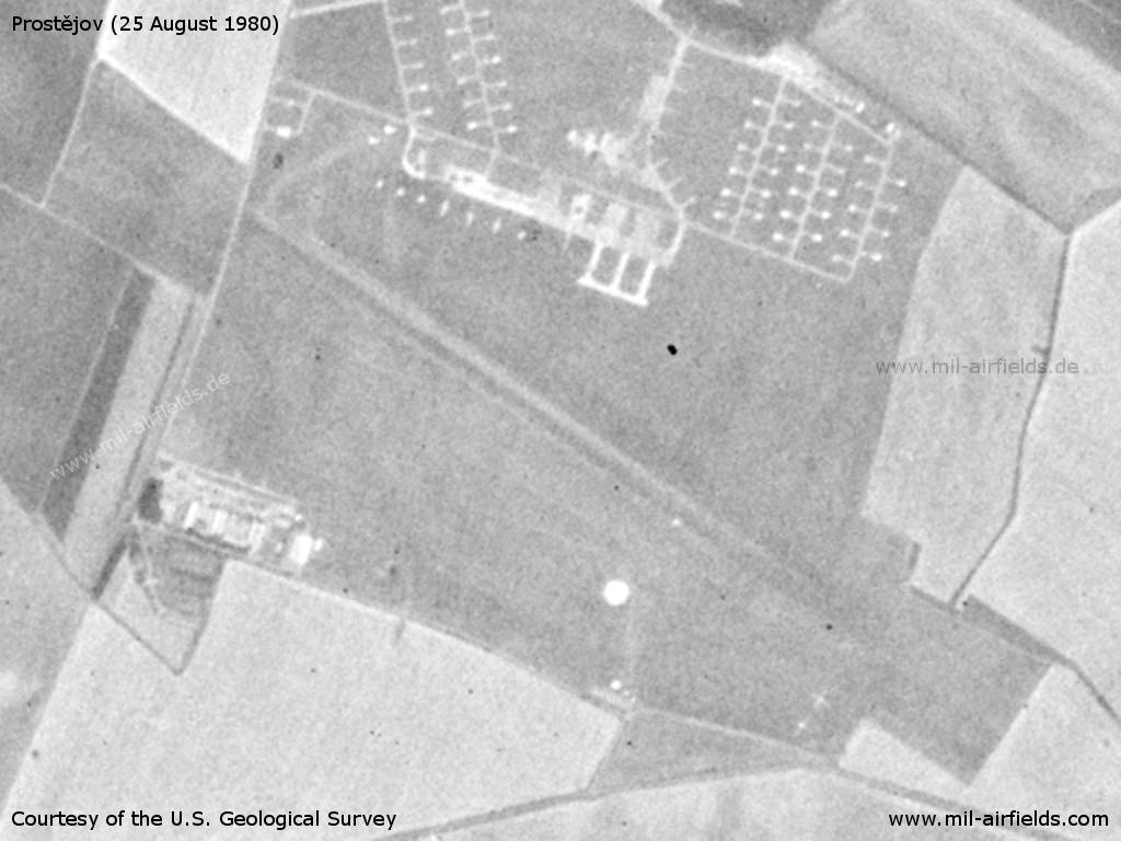
Southern part with runway
Source: U.S. Geological Survey
Radio communication
Call sign "VYTVOR" (198x).
According to western signals intelligence (SIGINT), the airfield was also called "Navigacni Punkt 220" by the Czechoslovak Air Force.
Units
51 VRP "Dr. Edvarda Benese": Mi-17, Mi-24D (1990)
Today
Use
Occasional military traffic for parachute training. Aeroclub.
Images
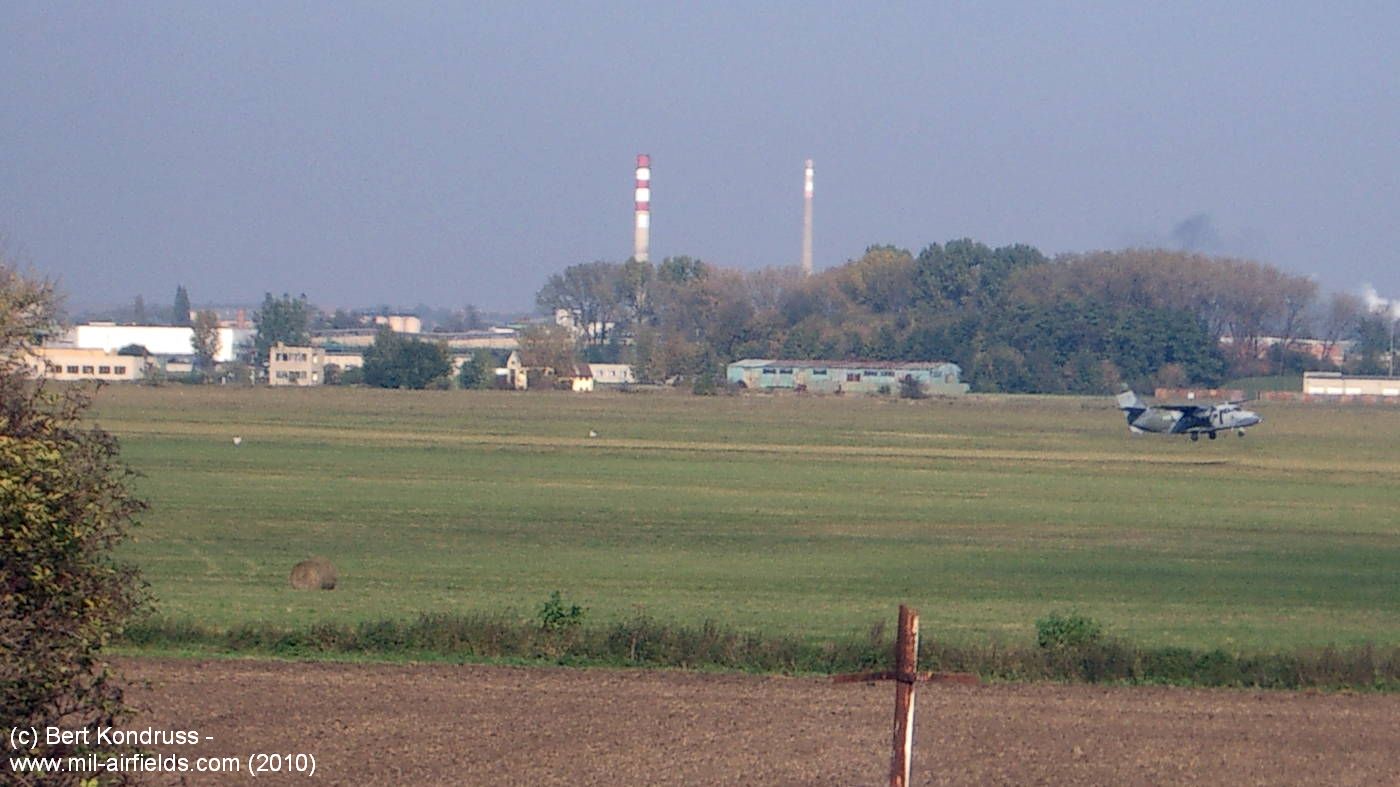
View from the south over the airfield with the plane taking off (2010)
Sources
- https://www.usgs.gov/ - USGS U.S. Geological Survey
Links
Airfields in the vicinity
- 019°/16km Olomouc: Airfield: Neředín (Letiště Olomouc, Olmütz-Neredin, Аэродром Оломоуц)
- 205°/18km Vyškov: Highway Strip
- 206°/18km Vyškov: Airfield (Letiště Vyškov)
- 097°/20km Přerov: Air Base (Letiště Přerov, Bochor)
- 135°/39km Otrokovice: Airfield (Letiště Otrokovice)
Categories
Air Bases CzechiaRecommended
Image credits are shown on the respective target page, click on the preview to open it.
 Follow mil-airfields on Facebook