Eggebek: Air Base
For historical information only, do not use for navigation or aviation purposes!
| Coordinates | N543729 E0092045 (WGS84) Google Maps |
| Federal state | Schleswig-Holstein |
| Location indicator | EDCG, ETME |
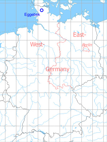
Germany during the Cold War Map
The history of the Cold War airfields: Eggebek
During World War II
Use
Luftwaffe airfield.
Situation
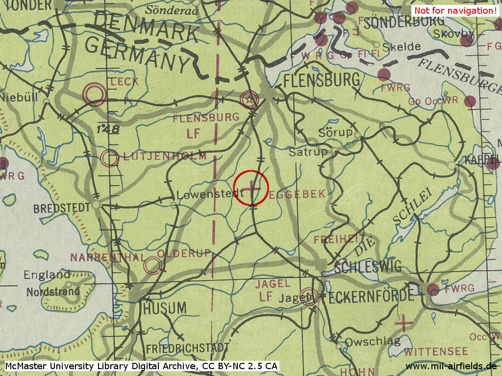
Old Eggebek Air Base in World War II on a US map from 1943
Source: McMaster University Library Digital Archive, Lizenz: Creative Commons Attribution-NonCommercial 2.5 CC BY-NC 2.5 CA
Overview
During the Cold War
Use
Construction of a new air base started in 1959. Used by German Air Force Reconnaissance Wing 52 (AG 52) from 1960 until 1964, when the wing relocated to Leck. Thereafter German Naval Wing 2 (MFG 2) until 2005.
In the 1960s
Overview
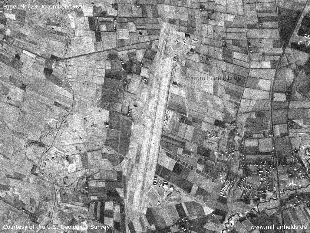
Eggebek Air Base on a US satellite image from Wednesday 23 December 1964 - At that time, the installations were still simple, the shelter loops were not yet in place. Apparently the runway was not cleared of snow.
Source: U.S. Geological Survey
In the 1970s
Situation
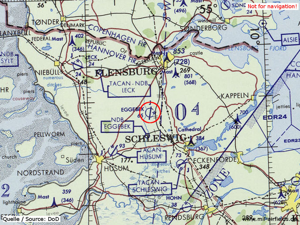
Eggebek Air Base on a map of the US Department of Defense from 1972
Source: ONC E-2 (1972), Perry-Castañeda Library Map Collection, University of Texas at Austin
In the 1980s and early 1990s
Overview
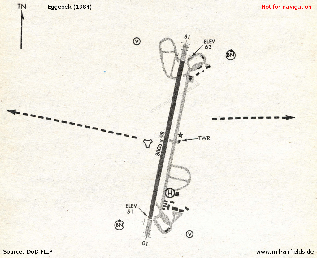
Eggebek in 1984
Source: US DoD
Runways
- 01/19: 2400 m x 30 m Concrete
Radio beacons
- TACAN: CH111 "EGB", at field
Radar
ASR/PAR
Radio communication
Call sign: "EGMONT"
Units
Naval Wing 2 (MFG 2) with RF-104G Starfighter and later Tornado.
Today
Use
The airfield is closed, the area is used as photovoltaic park and industrial area.
Links
- http://www.werftmodellbau.com - Pictures
Airfields in the vicinity
- 088°/6km Bollingstedt: Highway Strip (Notlandeplatz NLP)
- 227°/18km Husum: Schwesing Air Base
- 149°/21km Schleswig: Air Base (Jagel, RAF Schleswigland)
- 143°/26km Brekendorf: Highway Strip
Categories
Military Airfields GermanyMilitary Airfields in former West GermanyGerman Air Force Air BasesGerman Navy AirfieldsRecommended
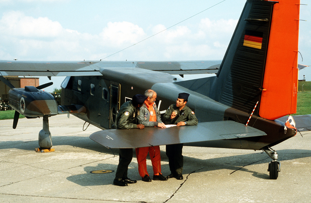
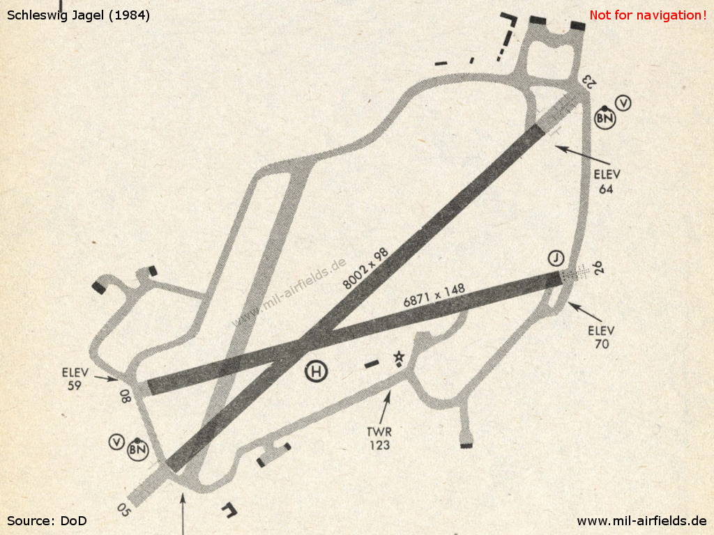
Image credits are shown on the respective target page, click on the preview to open it.
 Follow mil-airfields on Facebook