For historical information only, do not use for navigation or aviation purposes!
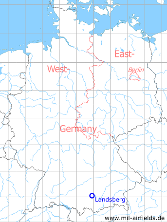
| Coordinates | N480414 E0105422 (WGS84) Google Maps |
| Federal state | Bayern (Bavaria) |
| Location indicator | DELB (195x), EDSA (196x-199x), ETSA (199x-) |
Germany during the Cold War Map
The history of the Cold War airfields: Landsberg/Lech
Contents
Page 1: Portrait of the airfield
Page 2: More photos & links ← you are here
Page 3: Landsberg Air Base
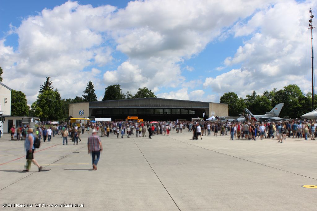
Pictures 2017 Part 2
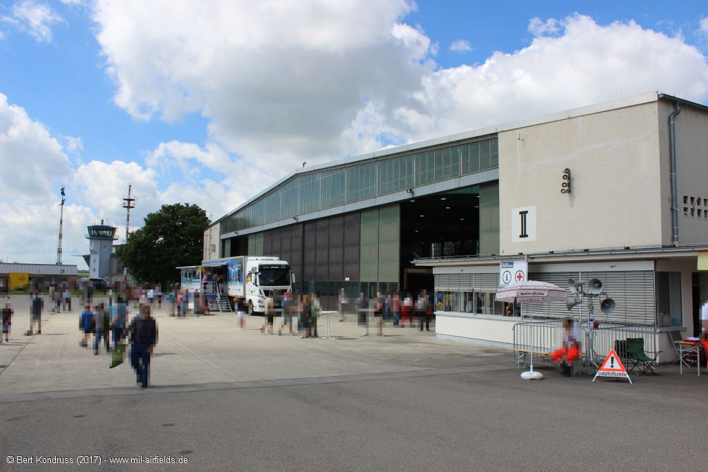
The following pictures were taken during the "Tag der Bundeswehr" in June 2017
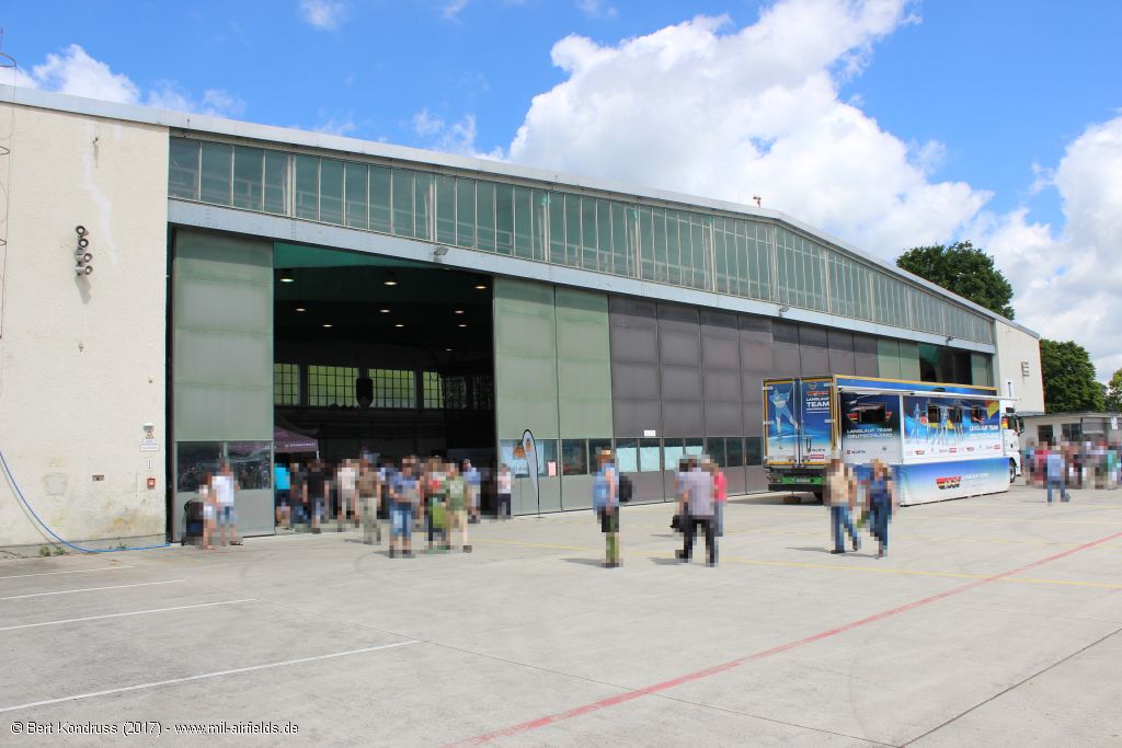
Aircraft hangars
Hangar I in the northeast of the field
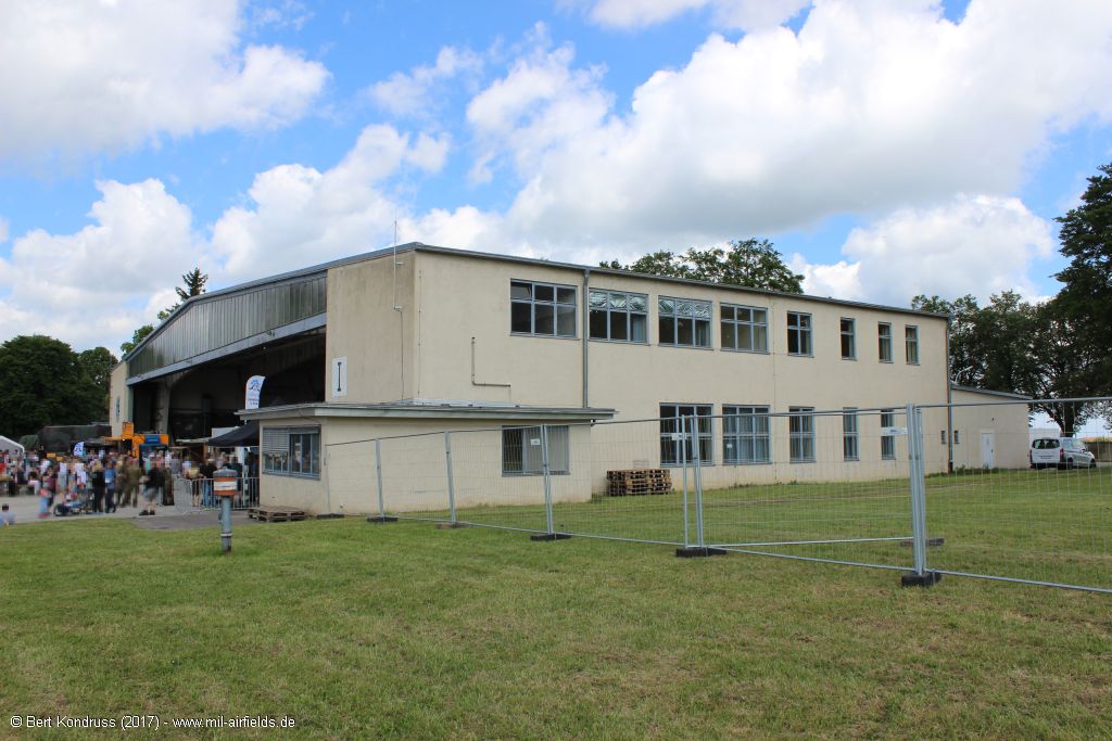
East side
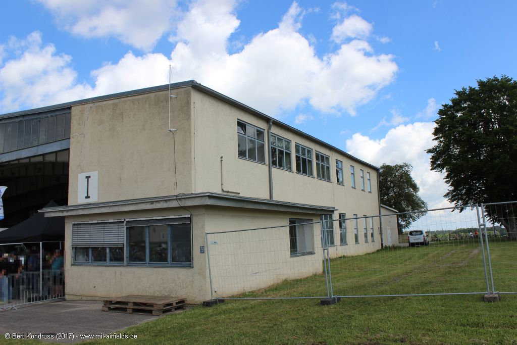
Detail
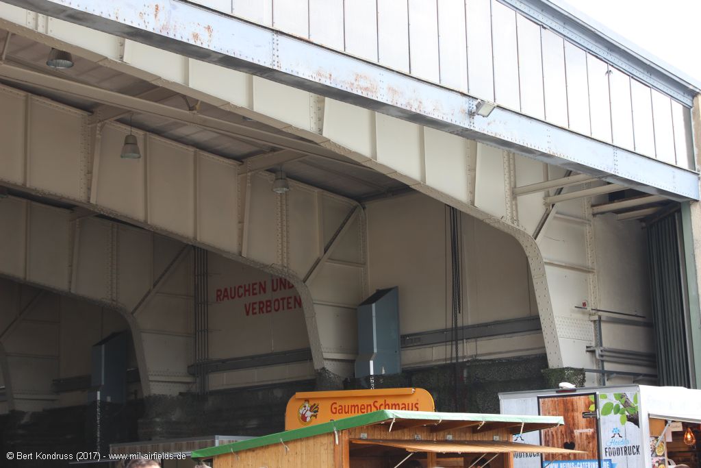
Inside
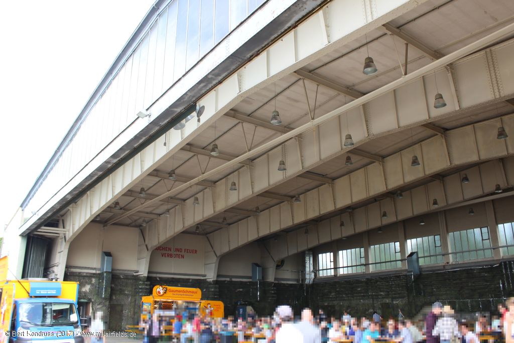
Roof construction
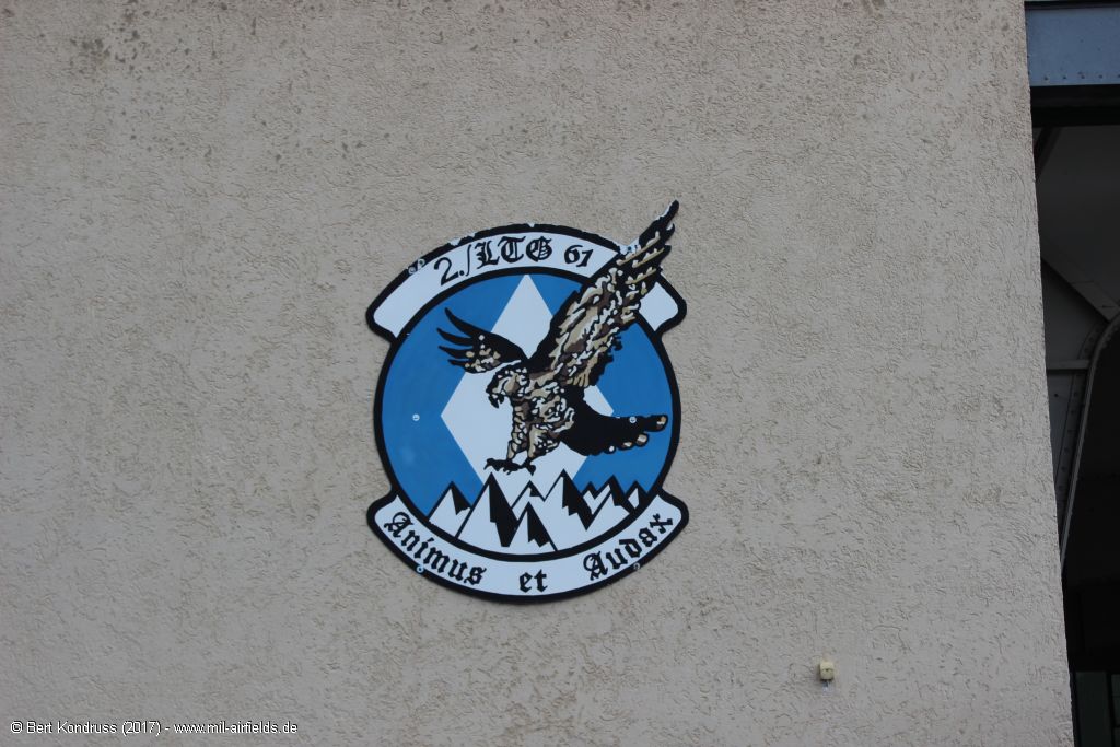
Insigna of the 2nd squadron
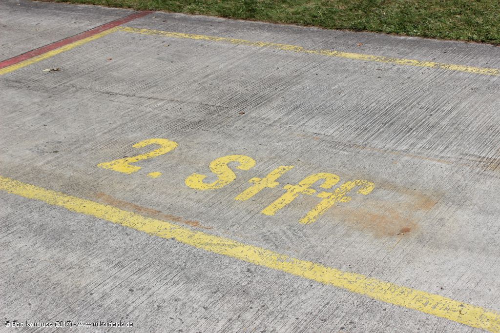
Ground marking "2. Stff" = 2nd squadron
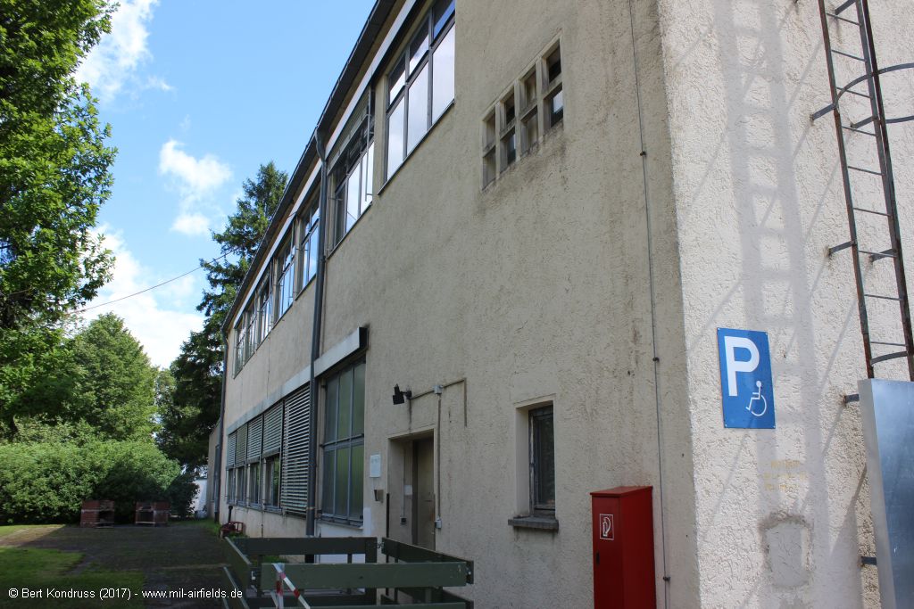
Western facade
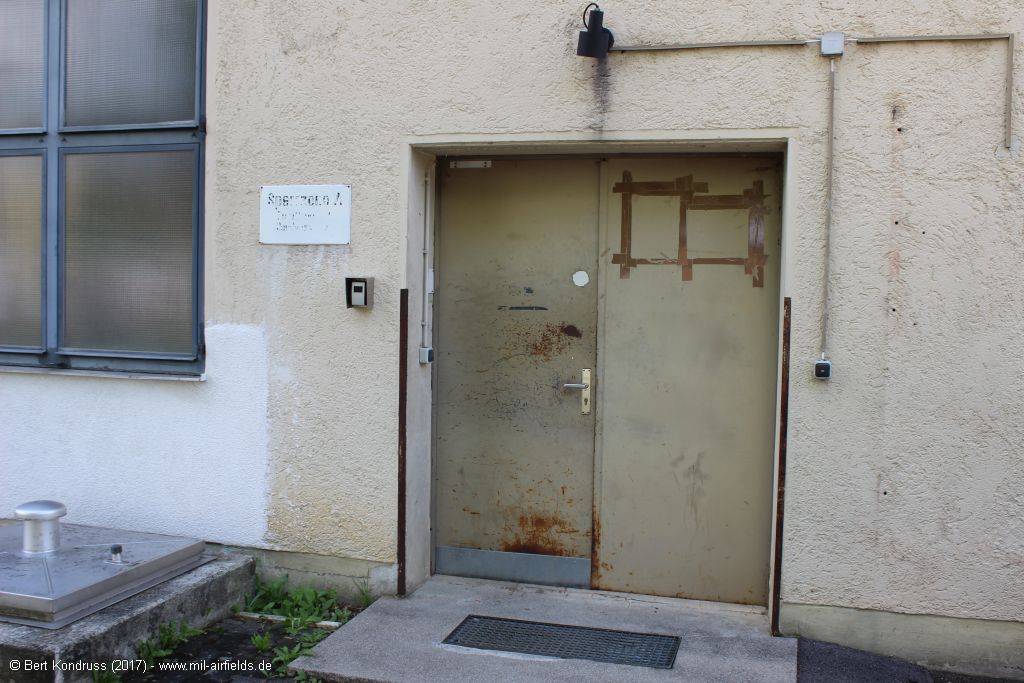
Side entrance
Hangar II
Hangar II
Approach and aerodrome maps
The development of Landsberg Air Base over the years can also be seen from historical maps. Here is a collection of approach and airport maps from the 1950s and 1960s:
Approach maps + aerodrome maps Landsberg Air Base
Approach maps + aerodrome maps Landsberg Air Base
Sources
- https://geoportal.bayern.de/ - Geoportal Bayern
Bibliography
- Ries, Karl; Dierich, Wolfgang: "Fliegerhorste und Einsatzhäfen der Luftwaffe" Motorbuch Verlag Stuttgart, 1993 - Alliierte Planskizze
Airfields in the vicinity
- 345°/13km Lechfeld: Air Base (Klosterlechfeld, Graben)
- 186°/26km Altenstadt: Airfield
- 087°/28km Oberpfaffenhofen: Airfield
- 359°/29km Augsburg: Haunstetten Airfield (Augsburg Army Airfield AAF)
Categories
Military Airfields GermanyMilitary Airfields in former West GermanyGerman Air Force Air BasesRecommended
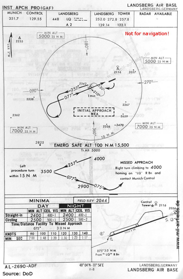
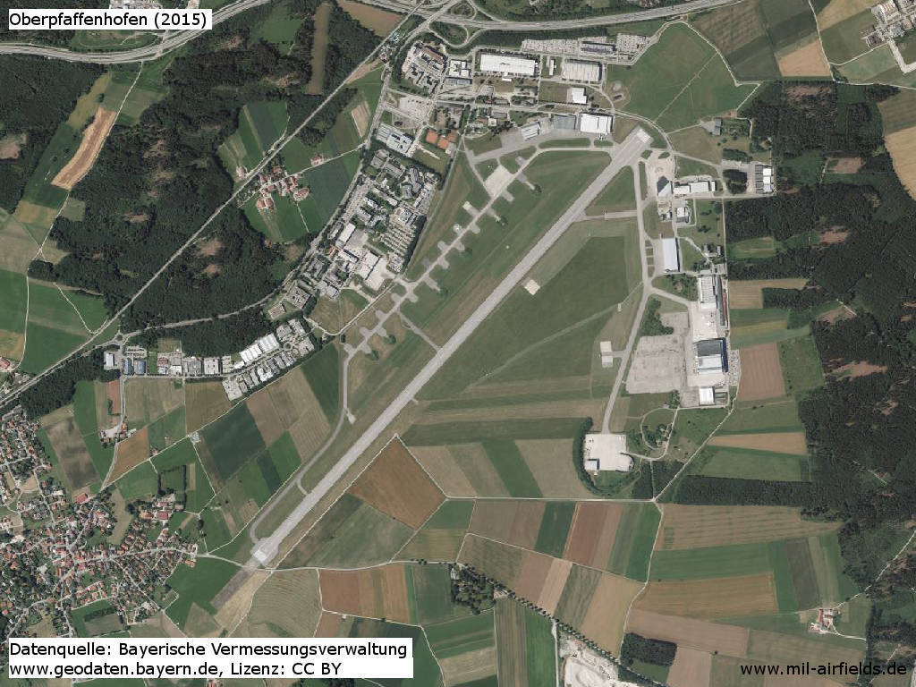
Image credits are shown on the respective target page, click on the preview to open it.
Contents
Page 1: Portrait of the airfield
Page 2: More photos & links ← you are here
Page 3: Landsberg Air Base
 Follow mil-airfields on Facebook