For historical information only, do not use for navigation or aviation purposes!
| Coordinates | N523652 E0120816 (WGS84) Google Maps |
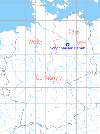
Germany during the Cold War Map
The history of the Cold War airfields: Schönhauser Damm
Contents
During the Cold War
General
Schönhauser Damm was a Soviet auxiliary airfield with an unpaved runway near the Klietz military training area. It was occasionally used for exercises.
History
- June 1952
Start of construction work, the work is carried out by the East German Bauunion Brandenburg and/or Bauunion Leipzig. - Late June 1952
The area was cleared. - Mid July 1952
Grading works, individual construction sheds are erected, gravel arrived at the field. - August 1952
Leveling work and the cutting of trees is not yet completed. End of August, five carloads of sheet metal are being shipped from Eisenach to Wudicke railroad station. - September 1952
Two lanes about 40 m wide are excavated and then filled with peat dust. Either for two runways or for one runway and one taxiway. The landing field is provided with a layer of humus which is hauled to the installation by means of a narrow-gauge field railroad track. There are some temporary buildings and tents at the field. Runway mats are moved from Wudicke and piled up at the field. - January 1953
Work is still in progress, the field is to be completed by March 1953. About 200 men are employed at the field. Leveling work is completed for the eastern third of the field, it is in progress for the middle section, while the western third is not yet covered with the top layer of earth. A barbed wire fence is being erected around the field. - Mid of June 1953
Runway matting is stacked up at the field. - Mid of July 1953
The runway matting is shipped away again. - End of July 1953
New runway matting is shipped to the field. - August 1953
The field is occupied by a Soviet guard detail of 60 to 80 men. - October 1953
The airfield in unoccupied, the grass cover is in poor condition. - November 1953
There are large piles of runway mats stored in the southern section of the field and additional mats have arrived since late October. This means that there are approx. 40,000 mats stored at the field. - June 1954
The airfield is not occupied by aircraft, but only a small detail of about 25 Soviet Air Force soldiers. More than 100 piles of runway mats are in the south-eastern section of the field. - October 1954
The runway mats are still not laid. - February 1955
Situation is unchanged. - June 1955
A Soviet air force guard detail consisting of about 15 men is stationed at the field. The stacks of runway mats are unchanged. These stacks are 70 to 90 m long, 12 to 15 m wide, and about 7 meters high. - July/August 1955
MiG-15 and Il-10 make low-level attacks to the airfield, firing at large white discs erected at the airfield. - 15./16. June 1971
The Neuruppin ground-attack fighter regiment deploys to Schönhauser Damm. The activity is observed for 31 hours by a team of the US Military Liaison Mission (USMLM).
(Sources: CIA, USMLM)
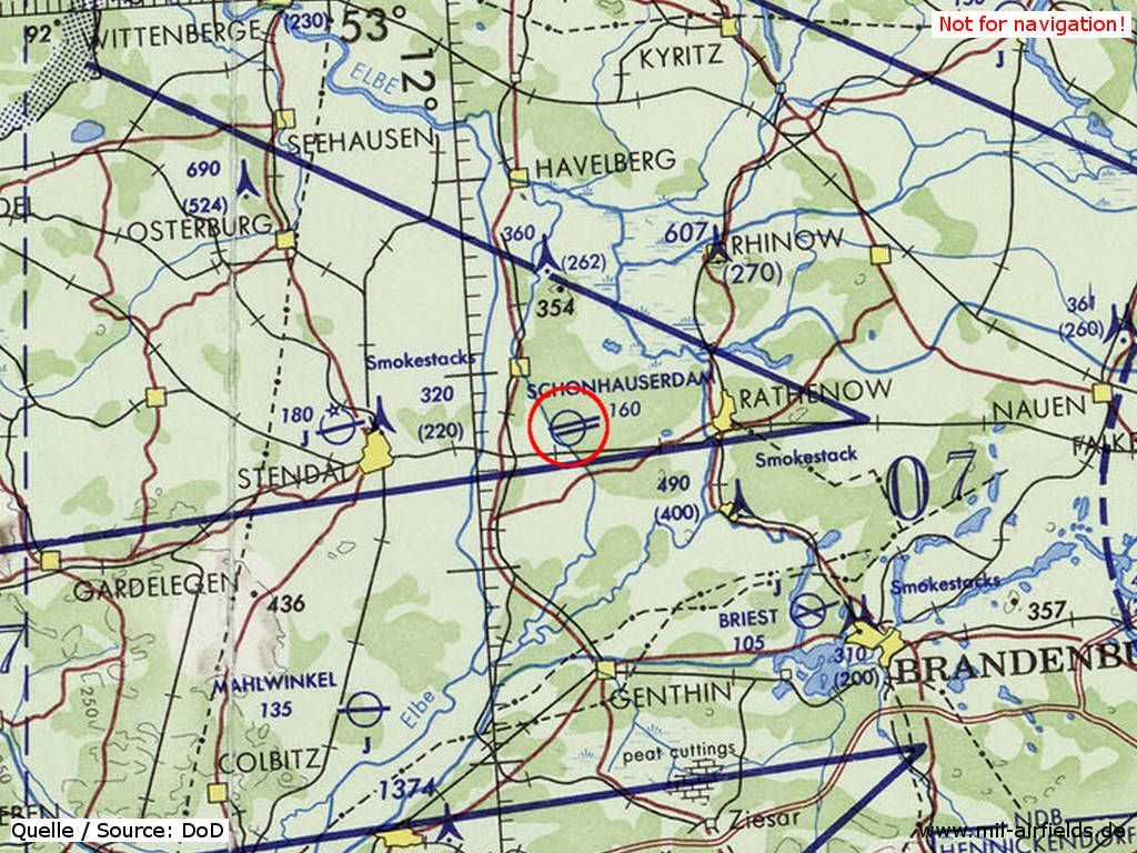
In the 1960s
Situation
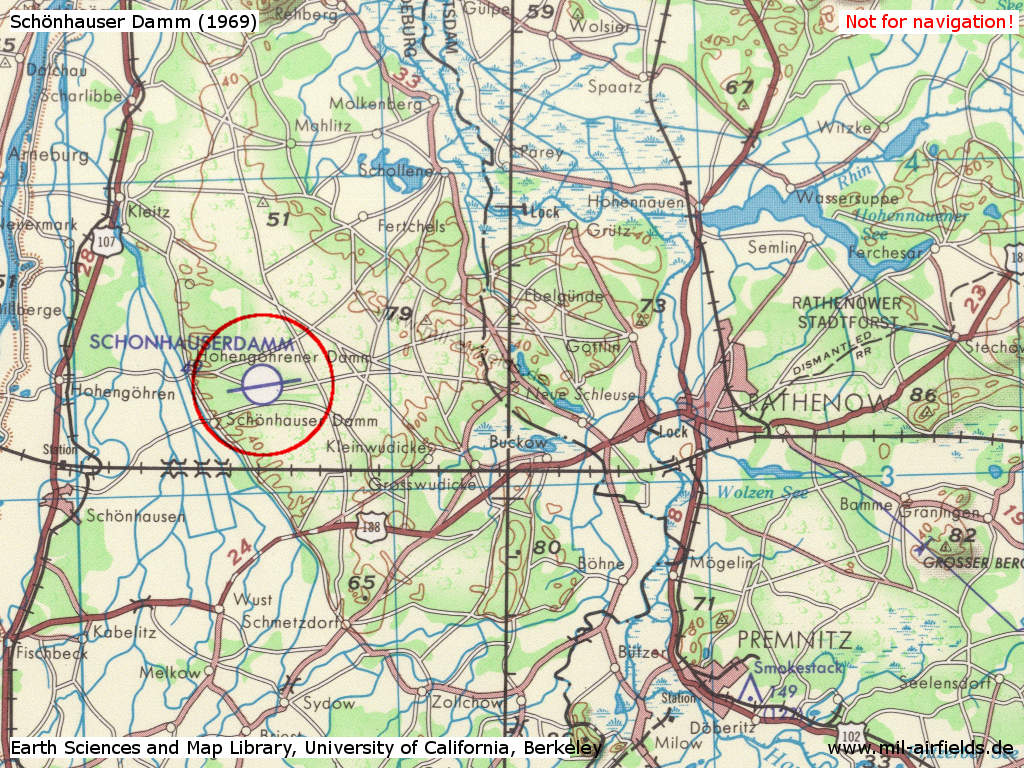
Schönhauser Damm Airfield on a US map from 1969
Source: Earth Sciences and Map Library, University of California, Berkeley
Overview
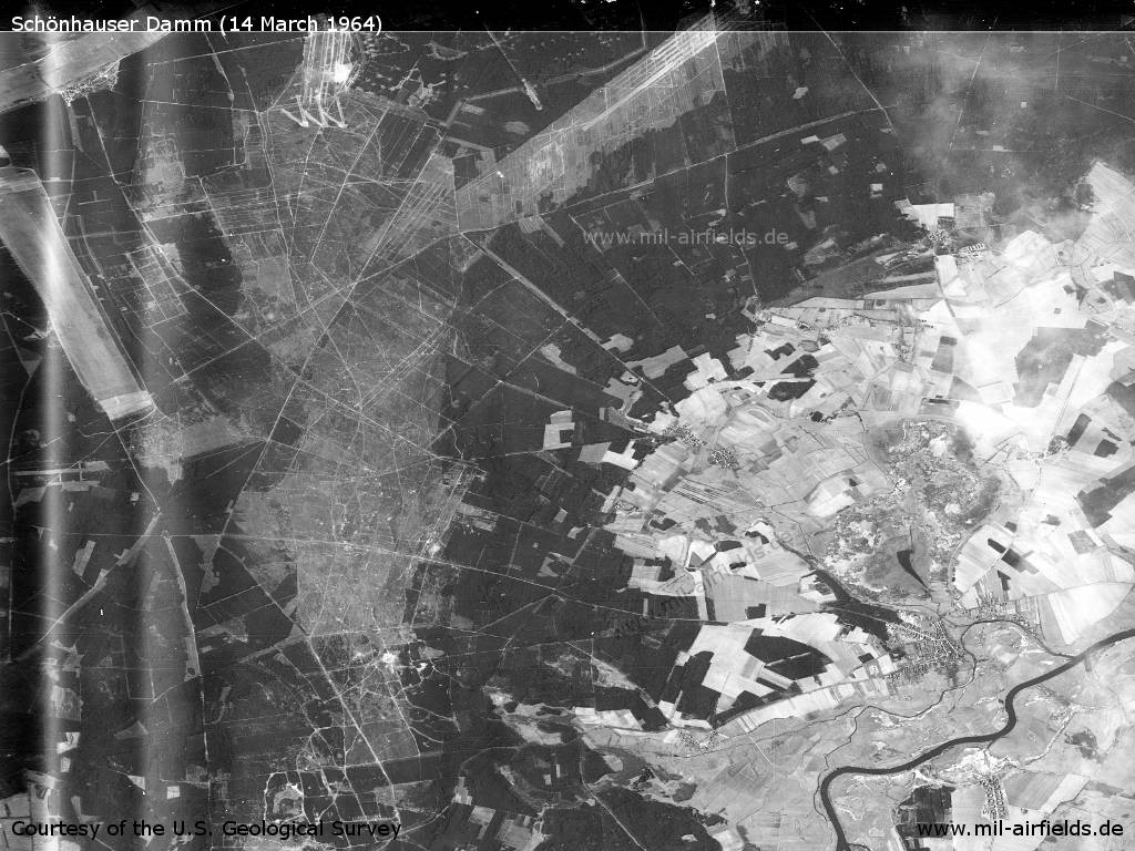
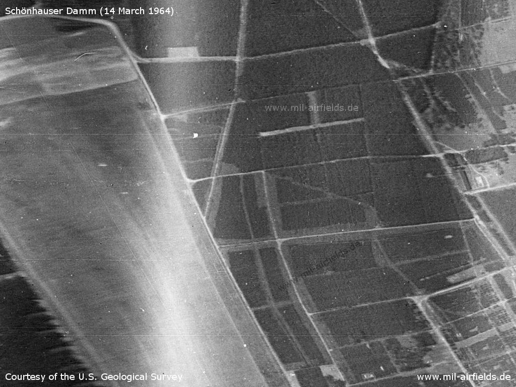
Klietz Training Area on Saturday 14 March 1964 - Viewing approx. to the west.
Source: U.S. Geological Survey
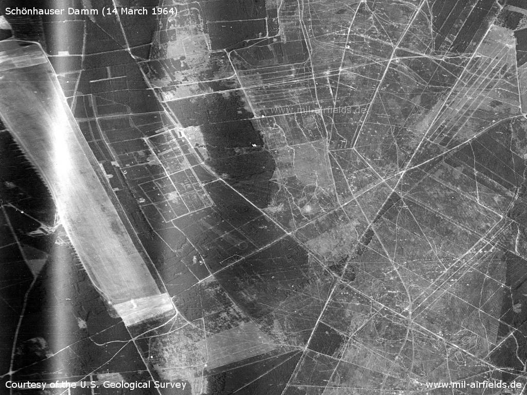
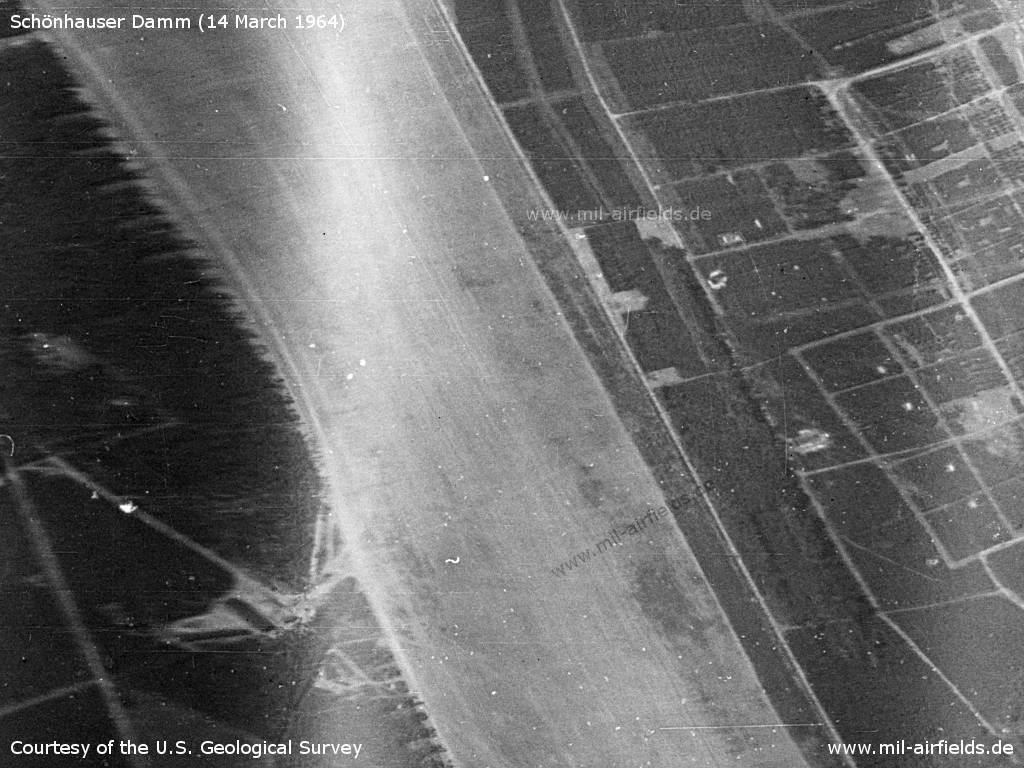
Enlargement
Source: U.S. Geological Survey
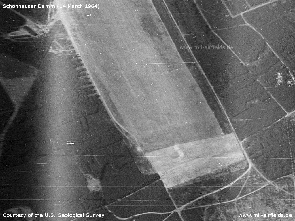
Runway, western part
Source: U.S. Geological Survey
Runway, central part
Source: U.S. Geological Survey
Runway, eastern part
Source: U.S. Geological Survey
In the 1970s
Situation
Schönhauser Damm Airfield on a map of the US Department of Defense from 1972 - The field is shown with two parallel runways.
Source: ONC E-2 (1972), Perry-Castañeda Library Map Collection, University of Texas at Austin
Overview
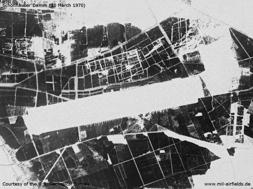
Tuesday 10 March 1970 - The field is covered with snow, which shows more detailed structures.
Source: U.S. Geological Survey
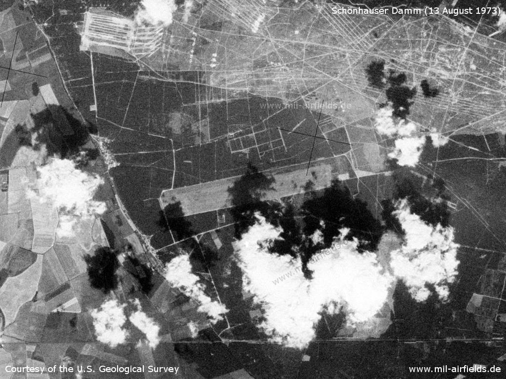
Southwestern part of Klietz Training Area on a US satellite image from 13 August 1973
Source: U.S. Geological Survey
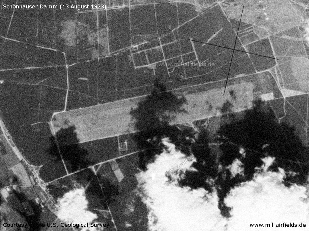
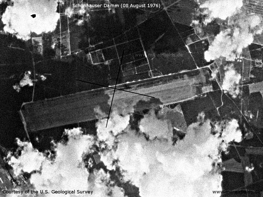
Schönhauser Damm Airfield - On this Monday the airfield is partly covered by clouds and their shadows.
Source: U.S. Geological Survey
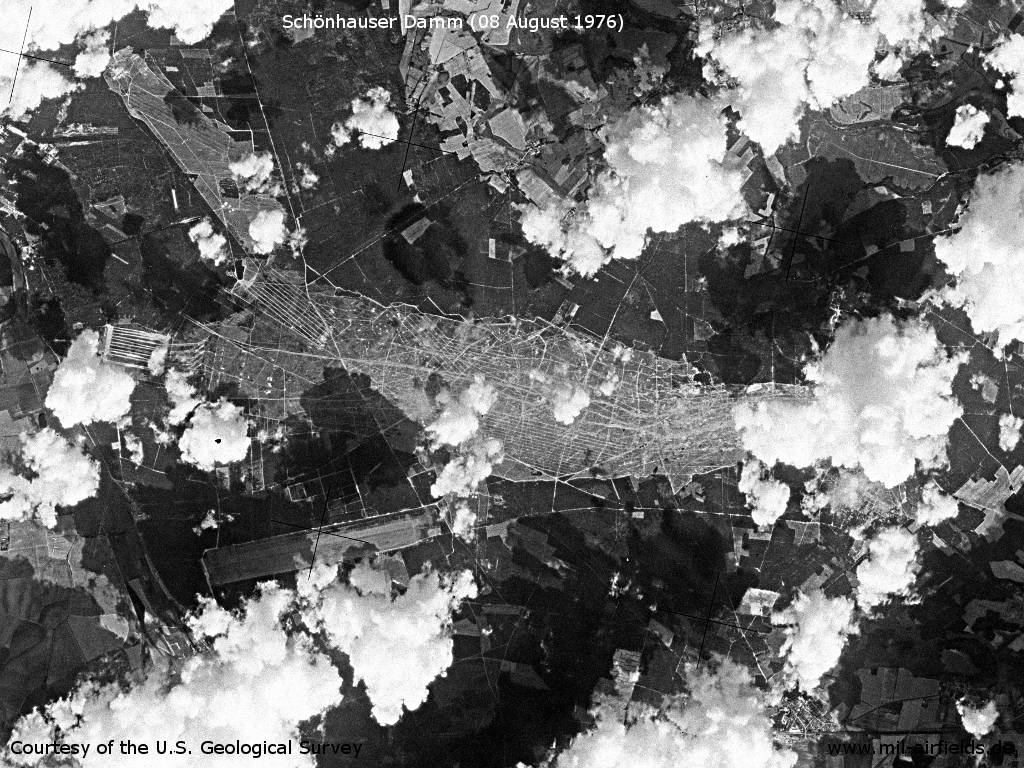
Klietz Training Area with clouds on a US satellite image from Sunday 08 August 1976
Source: U.S. Geological Survey
The airfield
Source: U.S. Geological Survey
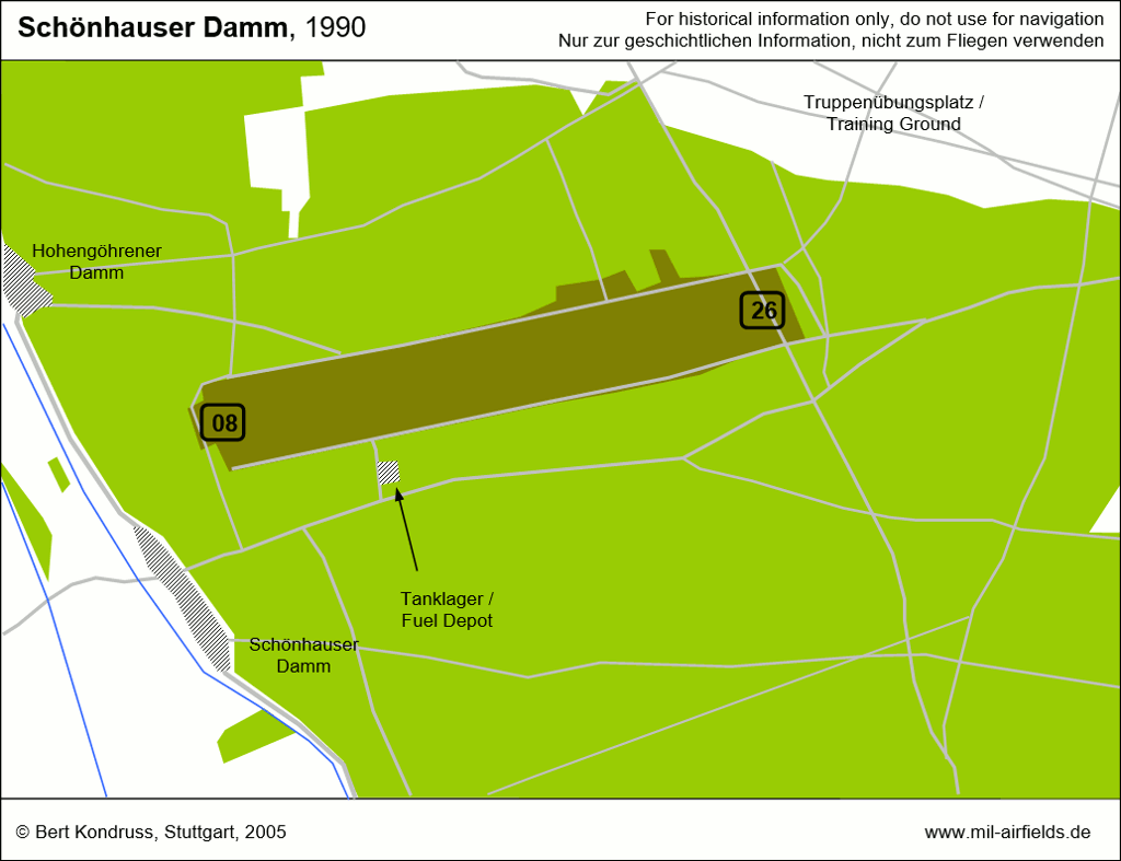
Runways
- 08/26: 2500..3000 m Grass
Radio beacons
- LOM 26: 339 "XN"
- LMM 26: 694 "X"
Radio communication
The radio call sign was NAWET.
Images
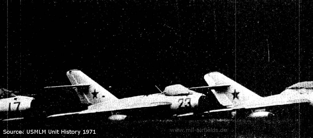
In June 1971, Soviet MiG-17 from the ground-attack fighter regiment Neuruppin deployed to Schönhauser Damm
Source: US Military Liaison Mission (USMLM) Unit History 1971
In the 1980s and early 1990s
Overview
Today
Use
Closed.
Sources
- https://www.usgs.gov/ - USGS U.S. Geological Survey
Airfields in the vicinity
- 101°/21km Bamme: Agricultural Airfield
- 274°/22km Stendal: Air Base (Borstel)
- 132°/29km Brandenburg: Briest Air Base
Categories
Military Airfields GermanyMilitary Airfields in former East GermanyAirfields of the Soviet Forces in GermanyRecommended
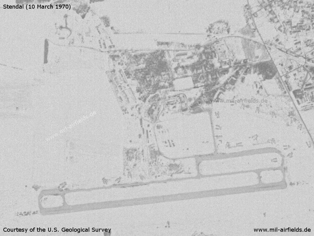
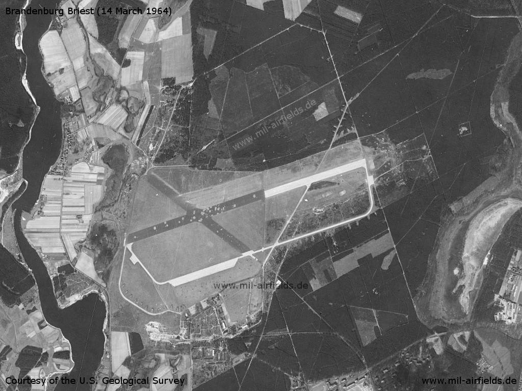
Image credits are shown on the respective target page, click on the preview to open it.
Contents
 Follow mil-airfields on Facebook