For historical information only, do not use for navigation or aviation purposes!
| Coordinates | N522828 E0130817 (WGS84) Google Maps |
| Elevation | 161' |
| Location indicator | DAGW (195x), EDUG (196x-198x), EDBG (198x-1994) |
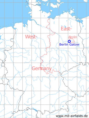
Germany during the Cold War Map
The history of the Cold War airfields: Berlin
During World War II
Use
Luftwaffe air base (Fliegerhorst).
Situation
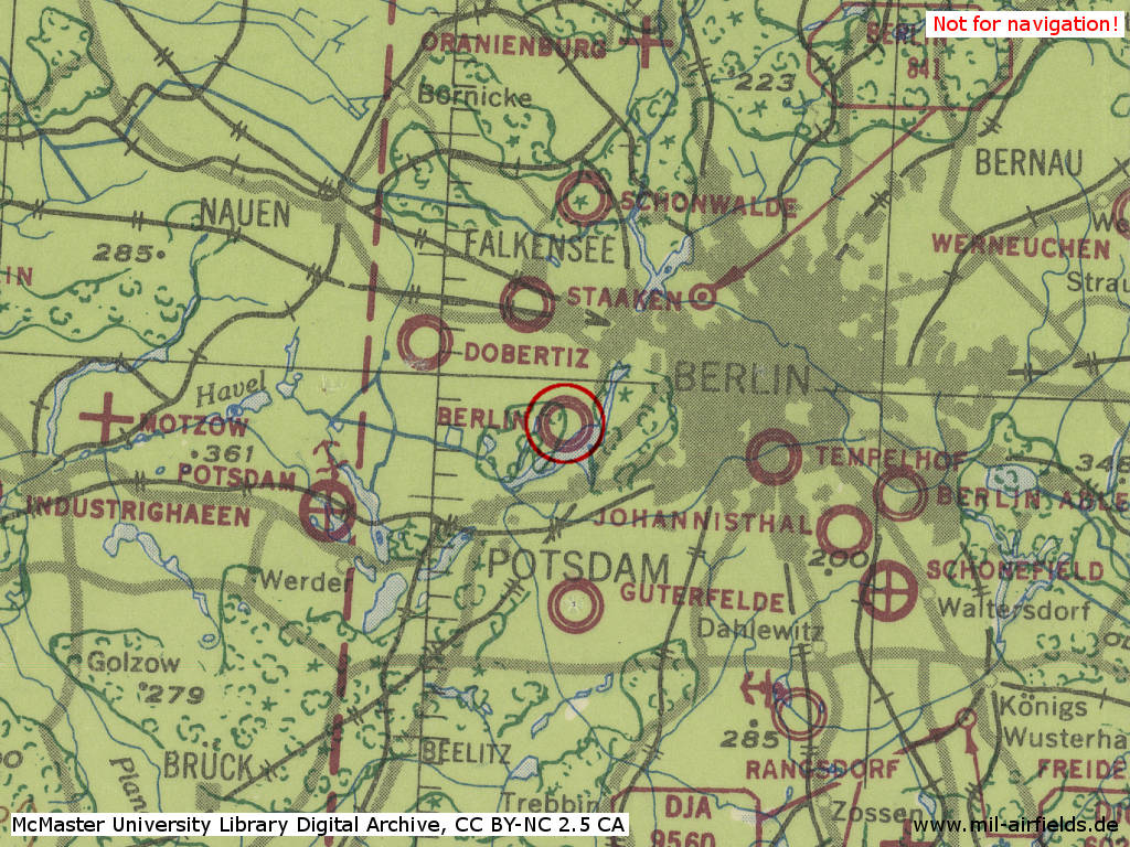
Berlin Gatow Air Base in World War II on a US map from 1943 - (McMaster University Library Digital Archive, License: Creative Commons Attribution-NonCommercial 2.5 CC BY-NC 2.5 CA /MULDA/)
During the Cold War
General
In some USAF aviation documents, the name was wrongly given as "Klaydow".
Use
Royal Air Force airfield.
From 1945
Overview
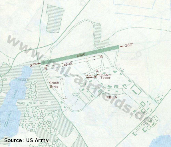
Airfield map from 1949 - At this time, the airfield has only one paved runway. Also visible on the map is the morse-coded airfield beacon, which is typical for English airfields, here with the ident GW.
During the 1950s
Overview
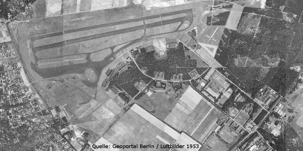
The whole installation on an Russian aerial picture form 1953
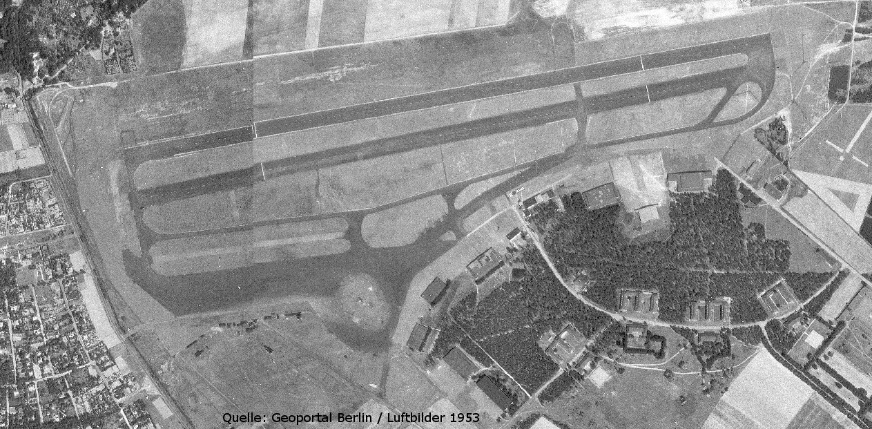
The airfield. - There are no aircraft recognizable
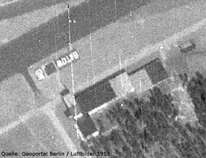
Zoom into the area of the control tower - The word "GATOW" and the abbreviation "GW" is painted on the ground (A similar painting still exists today, but the abbreviation is gone).
Radio beacons
- NDB: 370.5 "GW", at field, near Kladower Damm
- Eureka: 223R, 213T "GW", at field
Eureka was a navigation system which was used in the UK and other Commonwealth countries until the late 1980s.
Radio communication
- Gatow Approach 117.9, 132.84, 111.42
- Gatow Tower 132.84, 111.42, 117.9, 119.7
During the 1960x
Radio beacons
- NDB: 371 "GW", at field
There was a warning of strong interference by a station with the ident "WA" on frequency 372.
Radio communication
- Berlin Center 125.5, 125.3, 353.8
- Berlin Approach Control 120.4, 125.8, 362.3
- Berlin Departure 134.65, 132.65, 372.0
- Gatow Tower 123.85, 124.45, 122.1, 130.8, 291.3, 362.3, 307.3, 257.8
- Radar 130.5, 120.0, 119.05, 118.8, 267.7, 247.9, 385.4, 344.0
During the 1970s
Situation
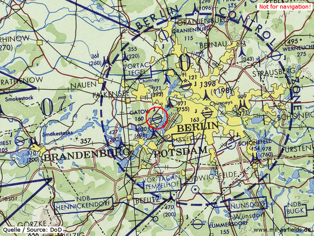
Berlin Gatow Airfield on a map of the US Department of Defense from 1972 - (ONC E-2 (1972), Perry-Castañeda Library Map Collection, University of Texas at Austin /PCL MC/)
Radio beacons
- NDB: 371 "GW", at field
- ILS: 108.9 "GW"
Radio communication
- Berlin Center 125.5, 125.3, 367.6, 353.8
- Berlin Approach 125.8, 120.95, 362.3
- Berlin Departure 132.65, 119.3, 372.0
- Gatow Director 130.8, 124.45, 247.9, 362.3
- Gatow Talkdown 130.5, 118.8, 267.7, 385.4
- Gatow Tower 123.85, 122.1, 291.3, 257.8, 307.3
During the 1980s
Runways
- 08L/26R: 1842 m x 45 m Asphalt
It was warned about trees when approaching runways 08L and 26R. Pilots were adviced to stay on the center line and to touch down 1000 ft beyond the runway threshold.
Radio beacons
- NDB: 370.5 "GW", at field
- ILS 26R: 108.9 "GW", OM 4.7 NM and MM 0.5 NM from runway.
The frequency of NDB "GW" changed back to 370.5
Radio communication
- Berlin Approach 125.8, 120.95, 362.3
- Berlin Departure 119.3, 132.65, 372.0
- Gatow Director 130.8, 285.2
- Gatow Talkdown 130.5, 118.8, 290.4
- Gatow Tower 123.85, 122.1, 355.1, 257.8
Telephone
(030) 309-2551
Units
7th Flight (Army Air Corps) Gazelle AH 1, Berlin Station Flight Chipmunk
Today
Use
Closed, German Air Force museum.
Links
- http://www.luftwaffenmuseum.de/ - German Air Force Museum
Airfields in the vicinity
- 347°/7km Berlin: Staaken Airfield (Dallgow, Dalgow, Аэродром Берлин Штакен)
- 184°/9km Berlin: Steinstücken Helipad
- 124°/12km Berlin: Berlin Command Airstrip
- 047°/14km Berlin: Tegel Airport
- 005°/16km Schönwalde: Airfield (Fliegerhorst Schönwalde Glien)
- 090°/18km Berlin: Tempelhof Airport (Berlin Tempelhof Central Airport TCA)
- 188°/19km Saarmund: Airfield (Eichberg, Wilhelmshorst)