Erfurt: Bindersleben Airport
Fliegerhorst Erfurt-Bindersleben, Аэродром Эрфурт, Flughafen Erfurt-Weimar
For historical information only, do not use for navigation or aviation purposes!
| Coordinates | N505848 E0105725 (WGS84) Google Maps |
| Elevation | 1036 ft |
| Former East Germany (GDR) | District of Erfurt |
| Federal state | Thüringen (Thuringia) |
| Location indicator | EDXE, ETEF (-1995), EDDE (1995-) |
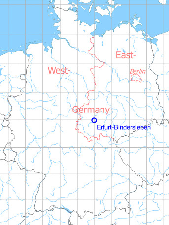
Germany during the Cold War Map
The history of the Cold War airfields: Erfurt-Bindersleben
Contents
Page 1: Erfurt-Bindersleben Luftwaffe Air Base, Germany ← you are here
Location of airfield
5 km west of Erfurt.
During World War II
Use
Luftwaffe air base.
1944
Situation
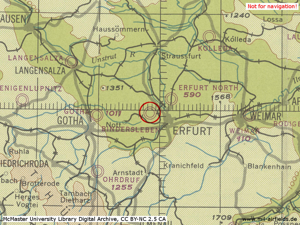
Erfurt Bindersleben Air Base in World War II on a US map from 194x
Source: McMaster University Library Digital Archive, License: Creative Commons Attribution-NonCommercial 2.5 CC BY-NC 2.5 CA
Overview
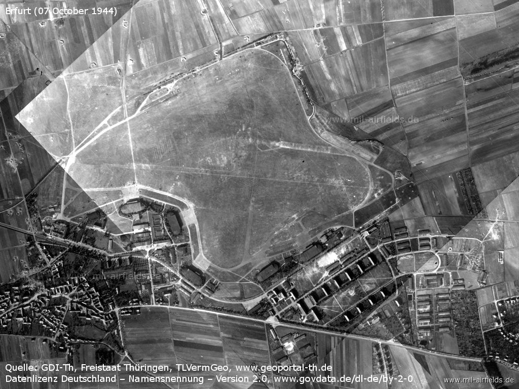
Image source, unless otherwise noted: GDI-Th, Freistaat Thüringen, TLVermGeo, www.geoportal-th.de, Datenlizenz Deutschland – Namensnennung – Version 2.0, www.govdata.de/dl-de/by-2-0
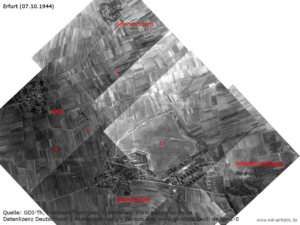
Fliegerhorst Erfurt-Bindesleben Air Base and surroundings on 07 October 1944 - The image is composed of several aerial photographs. 1: airfield; 2: dispersal area; 3: shooting range; 4: railroad line Erfurt - Nottleben. Other places: Alach, Bindersleben, Peterbornsiedlung, Salomonsborn.
Air base
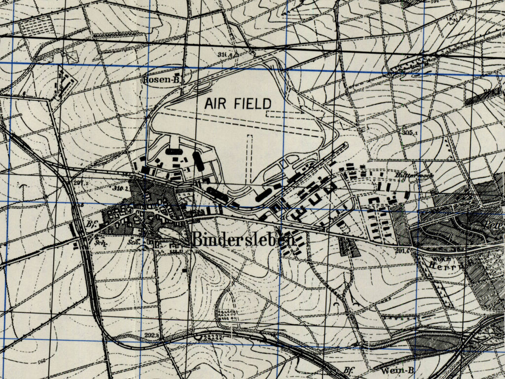
Erfurt Bindersleben airfield on a US map from 1951 - The shelter above the center and the shelter to the right of the center seem to be damaged.
Source: AMS M841 GSGS 4414, Courtesy Harold B. Lee Library, Brigham Young University
Air Base
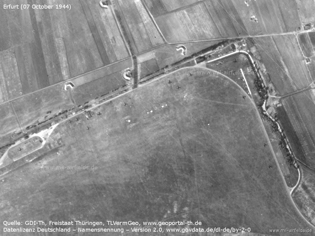
Northern tip - There are some planes here.
West side with railway connection - Some bomb craters are visible.
Aircraft hangars on the west side - There are also some airplanes here.
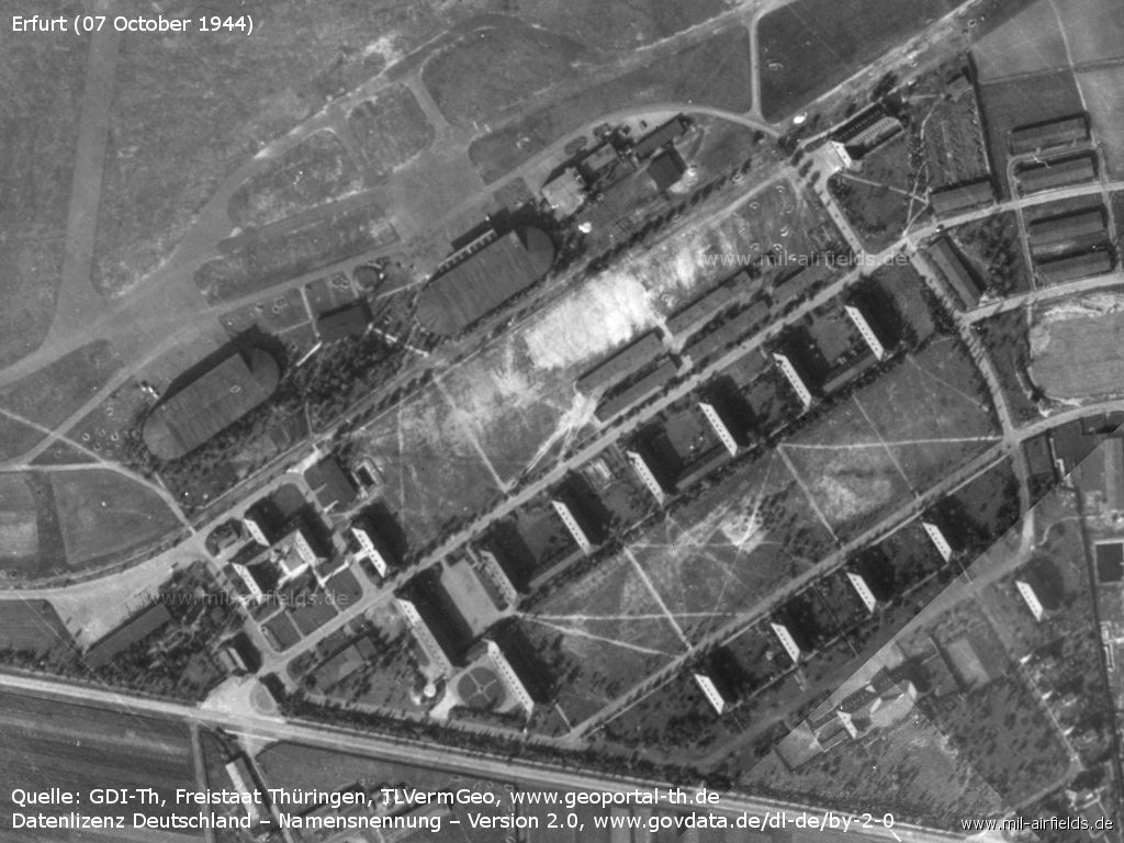
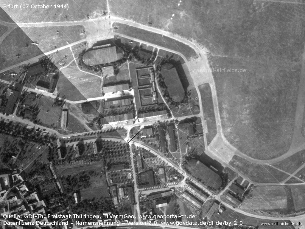
Aircraft hangars on the southeast side, barracks building
East side of the airfield - A flak position can be seen at the bottom right.
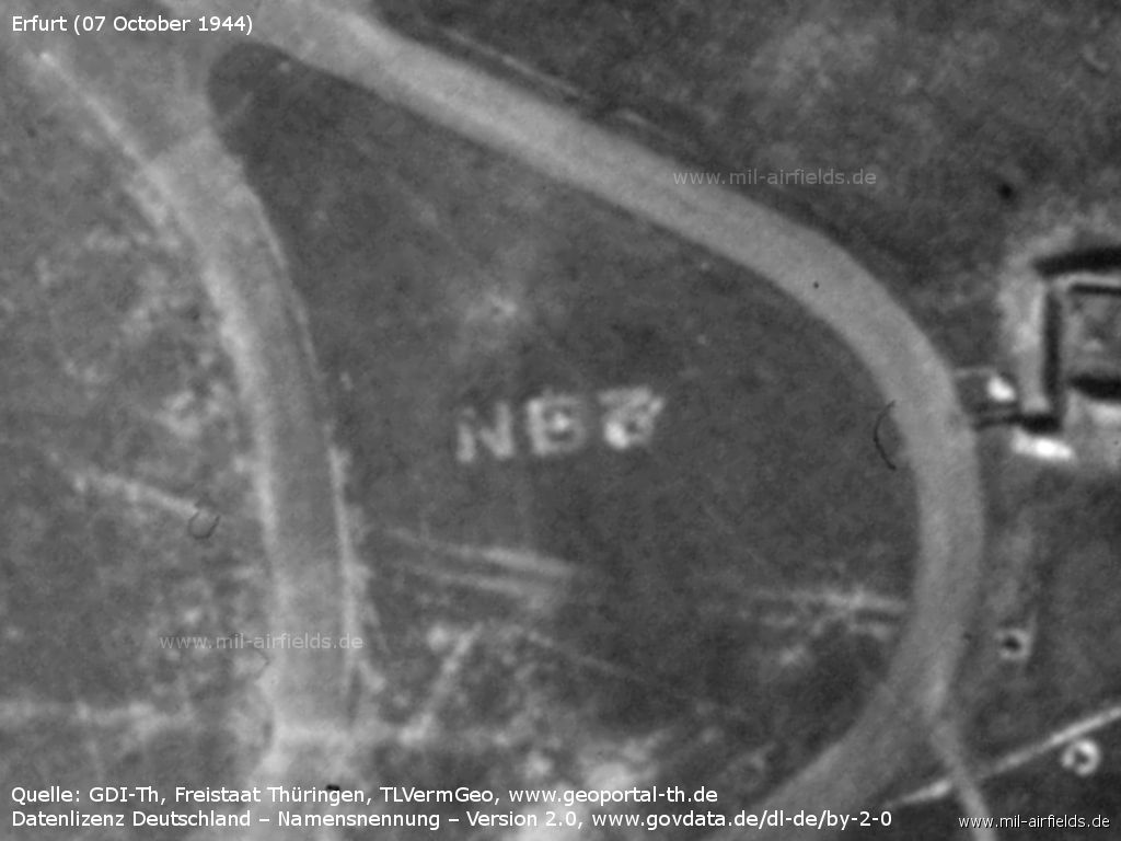
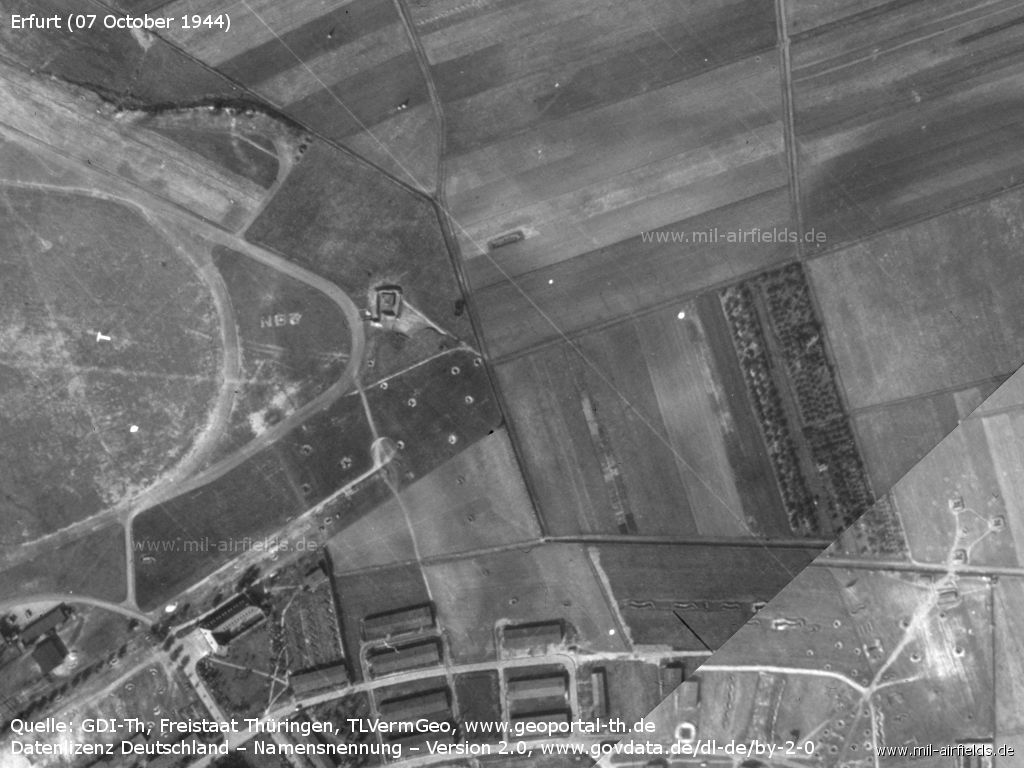
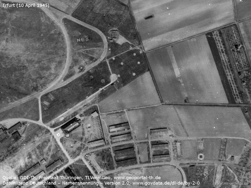
NB3 is the so-called fighter trapeze in which the air base is located. - The fighter trapeze describes the geographical position in a coordinate system. For quick orientation from the air, it is laid out on the ground.
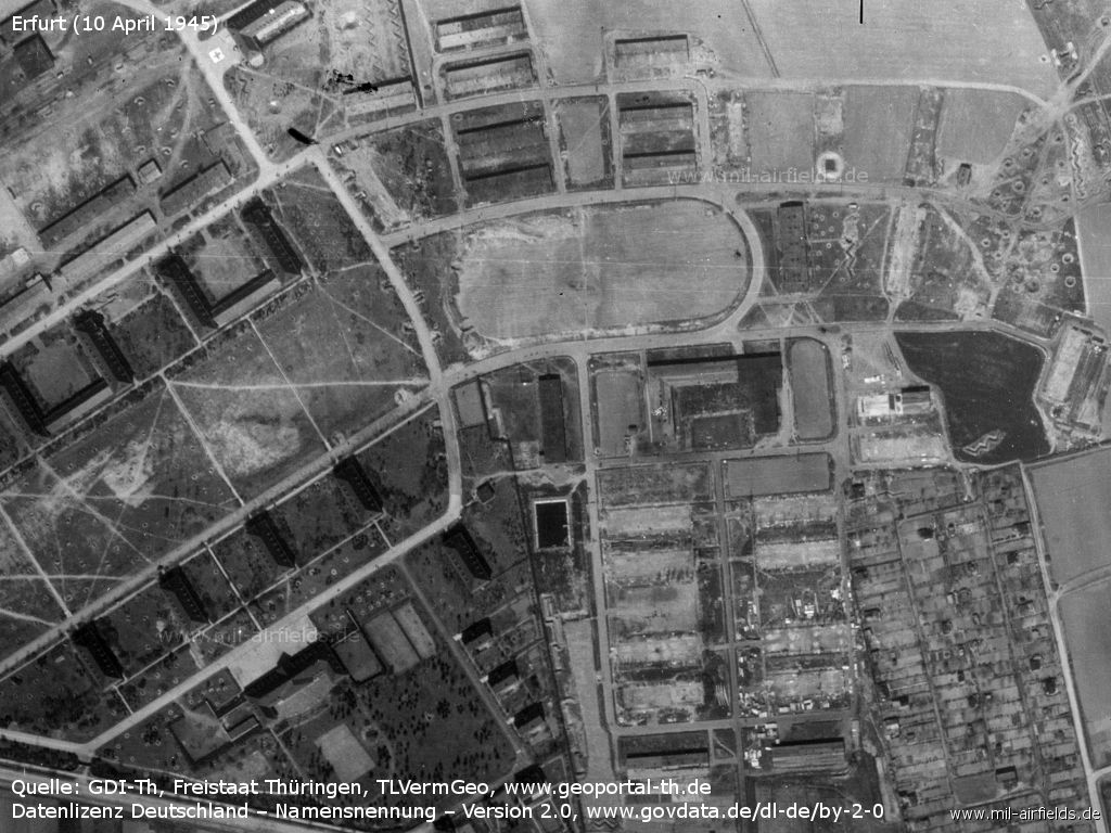
Barracks on the east side
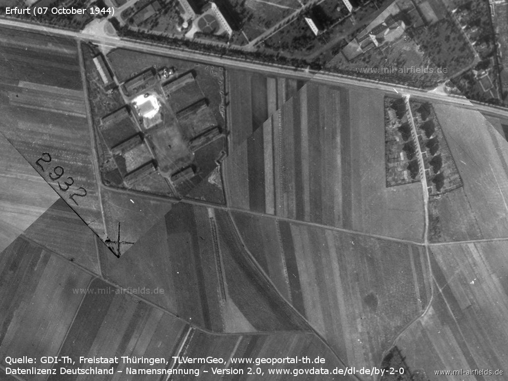
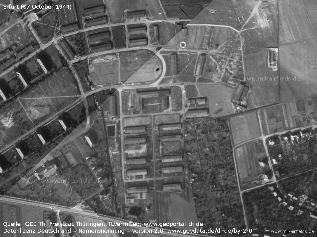
Facilities south of Binderslebener Landstraße
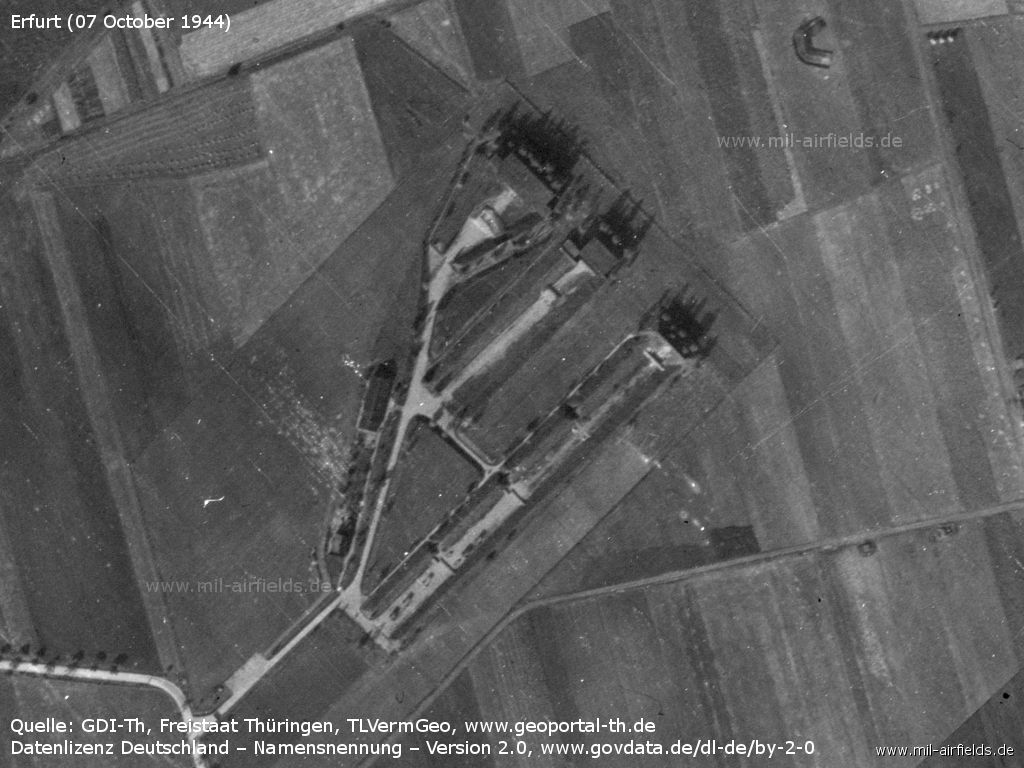
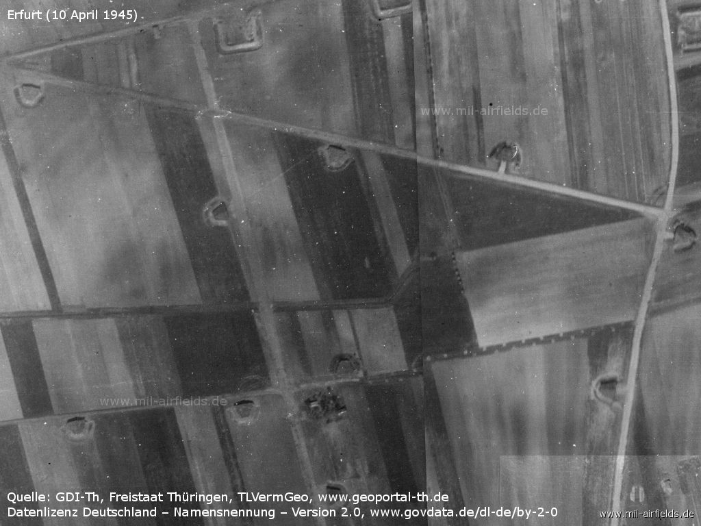
Dispersal area
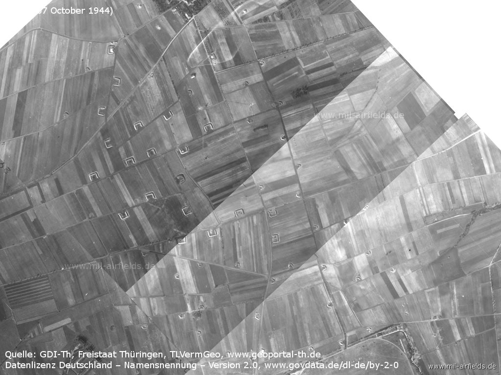
Dispersal area south of Salomonsborn
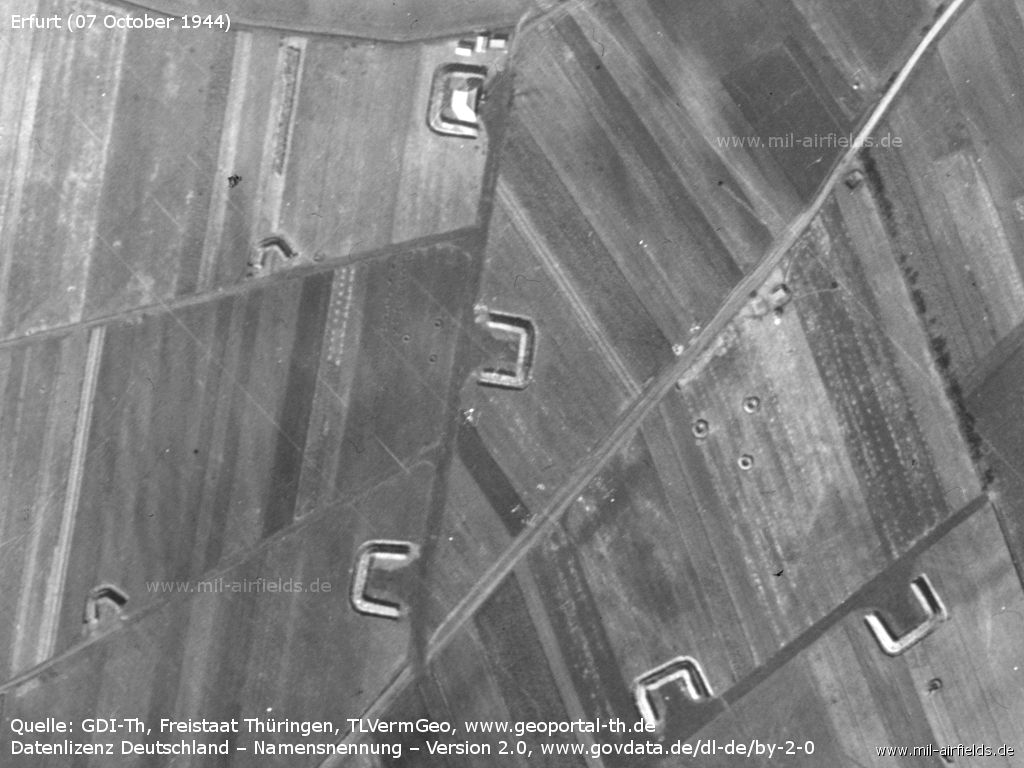
Large and small aircraft revetments - In the box at the top there seems to be a tent or something like that. The circles arranged to a triangle probably form an anti-aircraft position.
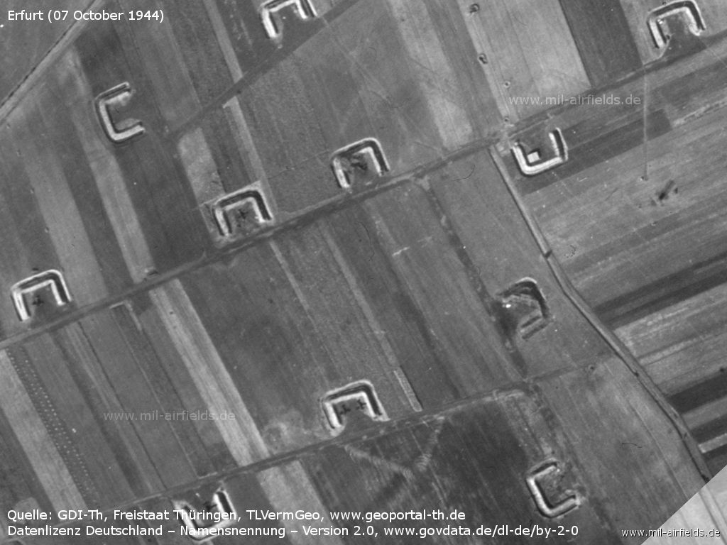
Aircraft revetments with one or two aircraft
Other facilities
Shooting range
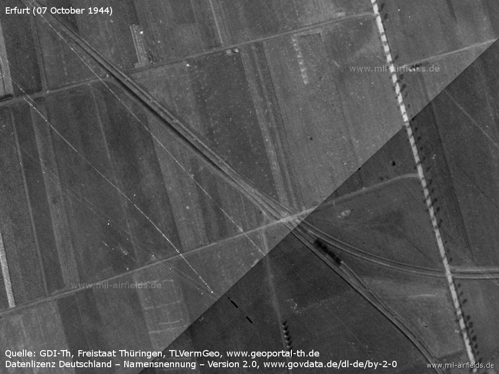
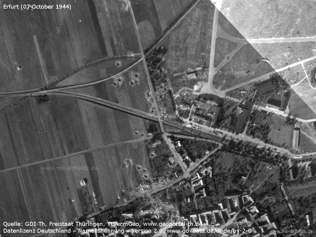
Railway line Erfurt - Nottleben with train. The air base siding leads to the right.
End of war 1945
Overview
The following pictures must have been taken shortly before the US occupation.
(Image source, unless otherwise noted: GDI-Th, Freistaat Thüringen, TLVermGeo, www.geoportal-th.de, Datenlizenz Deutschland – Namensnennung – Version 2.0, www.govdata.de/dl-de/by-2-0)
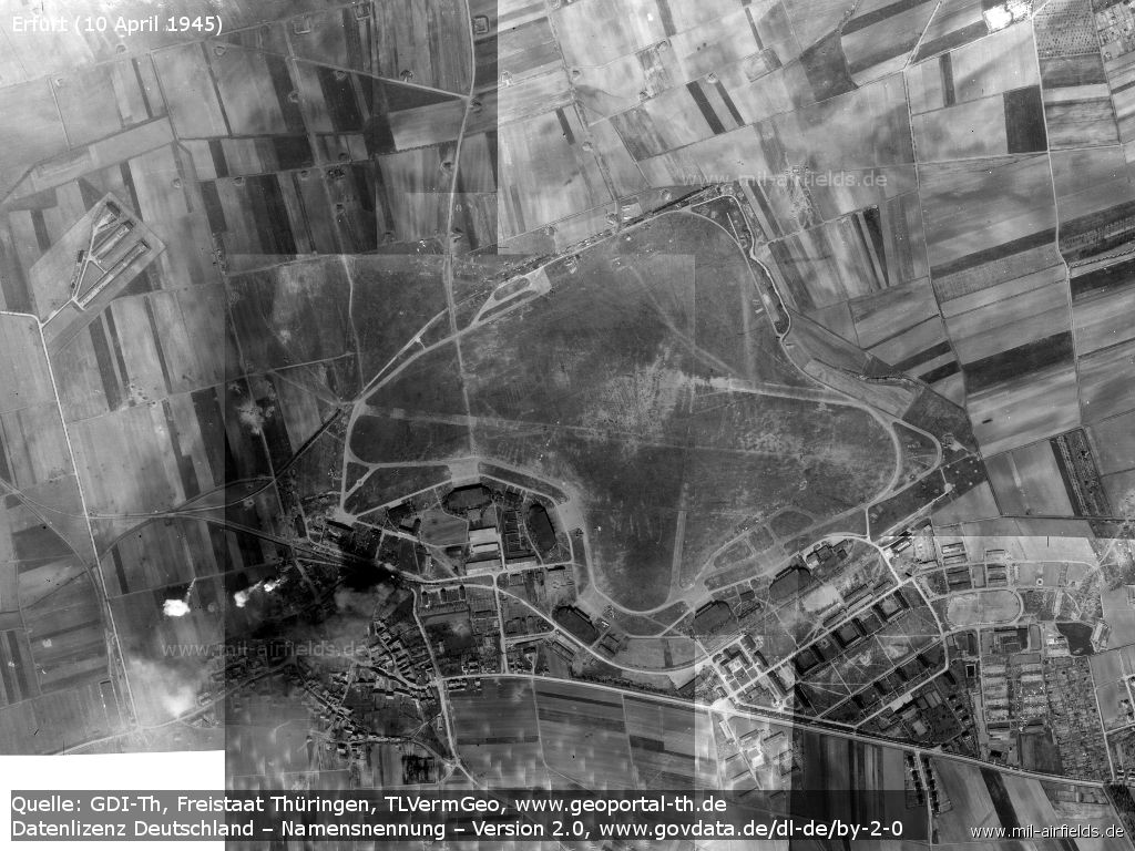
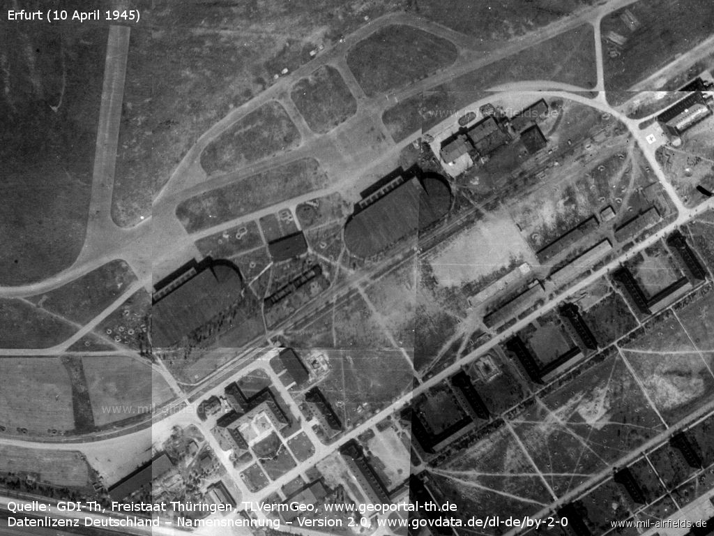
The air base and surroundings on 10 April 1945 - The pictures must have been taken shortly before the US occupation.
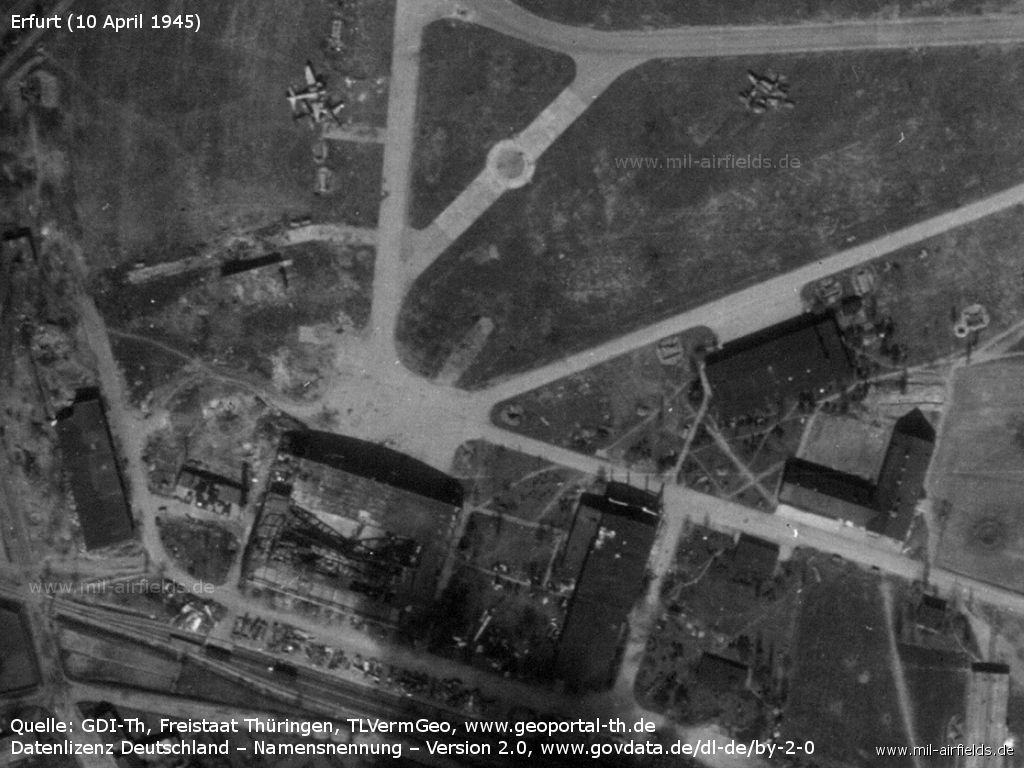
Airfield
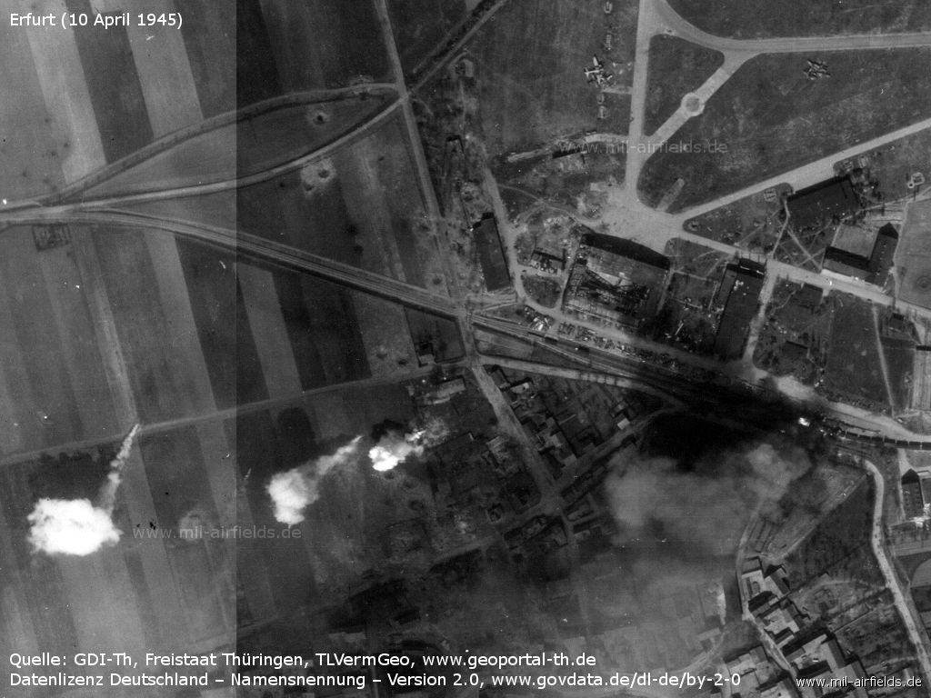
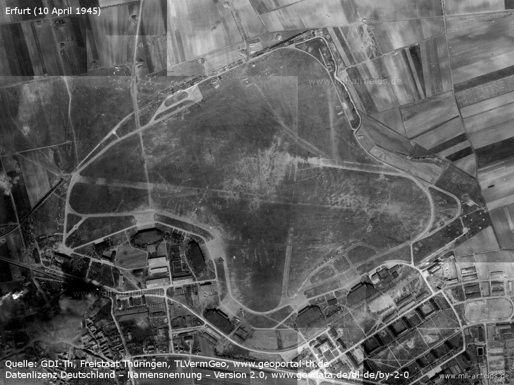
Western part: bomb craters, destroyed hangar, smoke clouds
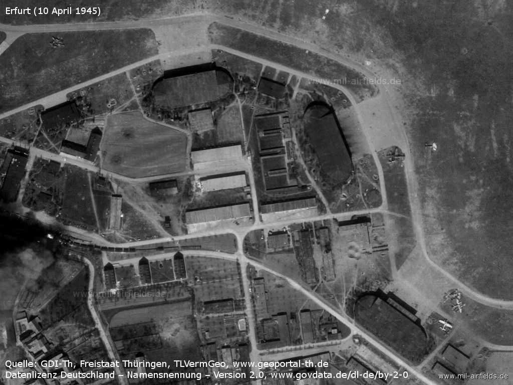
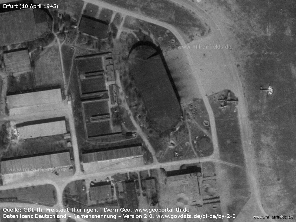
These halls still look intact
The hangars in the southeast also look undamaged.
Eastern end of the movement area
There are countless craters, the buildings west of the garden are missing.
Detail: Destroyed hangar in the west, aircraft scrap
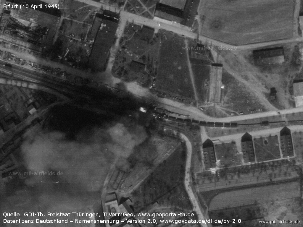
Detail: Fire at a railway car on the siding that runs behind the hangars.
Aircraft scrap
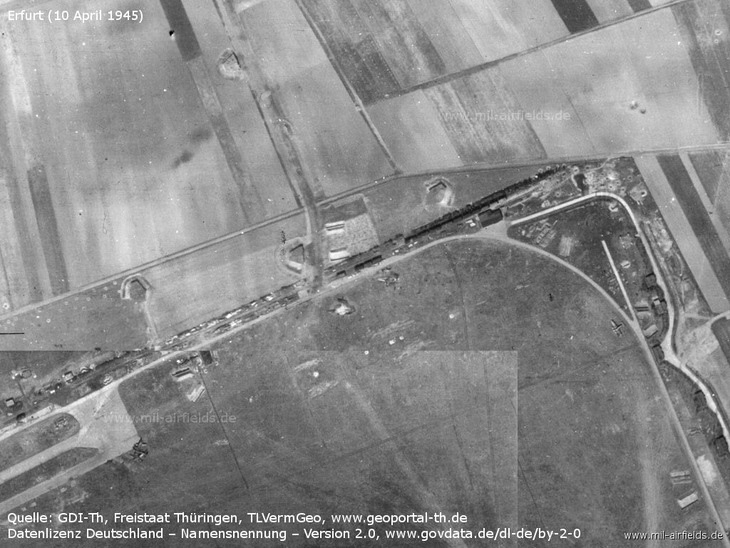
Northern part - Only a few aircraft are still recognizable. There are several railway cars on the tracks.
Contents
Page 1: Erfurt-Bindersleben Luftwaffe Air Base, Germany ← you are here
 Follow mil-airfields on Facebook