For historical information only, do not use for navigation or aviation purposes!
| Coordinates | N502843 E0083838 (WGS84) Google Maps |
| Elevation | 848 ft |
| Federal state | Hessen (Hesse) |
| Location indicator | EDIM |
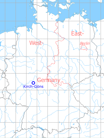
Germany during the Cold War Map
The history of the Cold War airfields: Kirch-Göns
Location of airfield
The airfield was located immediately northeast of Ayers Kaserne.
During the Cold War
Use
US Army landing ground for fixed-wing aircraft, presumably used until the late 1970s. According to a map of Ayers from the early 1980s, the area was no longer used as an airfield.
Overview
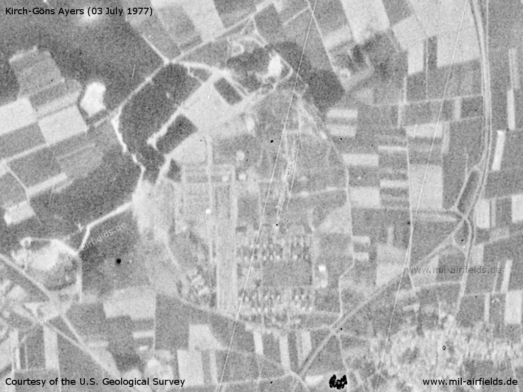
US Army Ayers Barracks on a US satellite image from 03 July 1977
Source: U.S. Geological Survey
Runways
Data for the year 1971:
- 09/27: 366 m x 18 m Grass
The runway was marked on both sides with panels indicating usable runway length at 200 ft (61 m) intervals.
Radio communication
Kirchgoens Radio 31.8, 122.1
Airspace and procedures
The airfield was operated Monday to Friday from 0700Z till 1600Z and Saturdays from 0700Z till 1100Z. At other times, the airfield was unattended.
The airfield was closed to aircrafts of type U-8 and larger. Aircrafts U-6 required a prior permission due to seasonal changes in the runway condition.
Traffic pattern in the south, for fixed-wing aircrafts in 1850 ft MSL, for helicopters in 1350 ft.
Obstacles
150 ft west of threshold 09 was a 10 ft high fence.
At the eastern end of runway 27 was a 2.5 ft drop and a road.
150 ft north o threshold 09 was a 25 ft van with an antenna.
At the eastern end of runway 27 was a 2.5 ft drop and a road.
150 ft north o threshold 09 was a 25 ft van with an antenna.
Installations
Former USAF radar site WNW of AHP
Today
Use
Closed.
Current State
The barracks have been demolished and the area was transformed into an industrial estate. There are no traces of the airfield left.
 Follow mil-airfields on Facebook