For historical information only, do not use for navigation or aviation purposes!
| Coordinates | N500256 E0101011 (WGS84) Google Maps |
| Elevation | 787 ft |
| Federal state | Bayern (Bavaria) |
| Location indicator | EDOA (-1995), ETOA (1995-) |
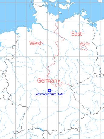
Germany during the Cold War
The history of the Cold War airfields: Schweinfurt
During World War II
Use
Luftwaffe air base (Fliegerhorst).
During the Cold War
Use
US Army airfield and heliport.
In the 1960s
Overview
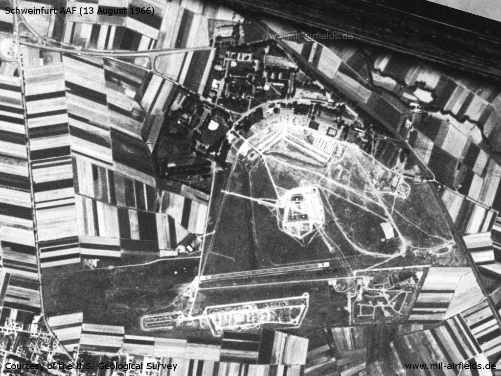
Schweinfurt Army Airfield on a US satellite image from 13 August 1966
Source: U.S. Geological Survey
In the 1970s
Situation
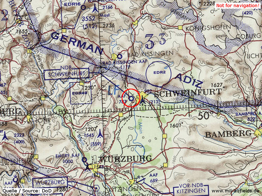
Schweinfurt Army Airfield (AAF) on a map of the US Department of Defense from 1972
Source: ONC E-2 (1972), Perry-Castañeda Library Map Collection, University of Texas at Austin
Overview
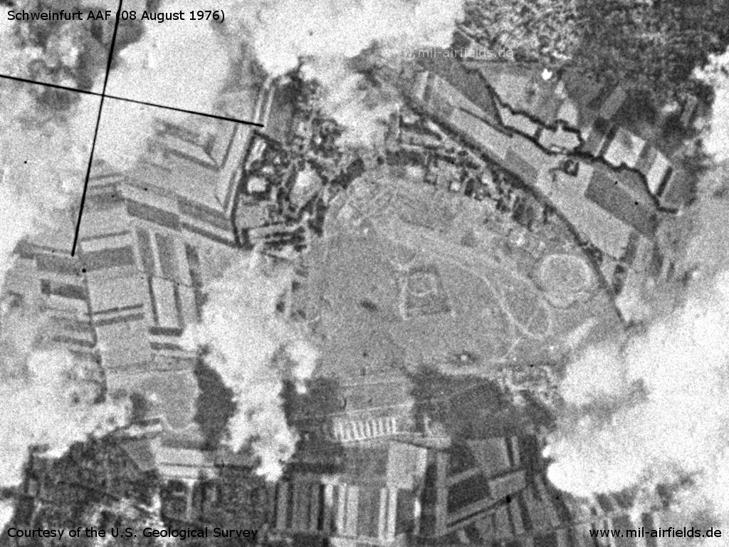
The airfield on Sunday 08 August 1976 - The field is partly covered by clouds.
Source: U.S. Geological Survey
Runways
Data for the year 1971:
- 09/27: 671 m x 22 m Asphalt
- 17/35: 427 m x 30 m Grass
In the 1980s and early 1990s
Runways
Data for the year 1990:
- 09/27: 671 m x 22 m Asphalt
Closed to fixed-wing aircrafts.
Radio beacons
Data for the year 1990:
- NDB: 363 "SCF", at field
Today
Use
Closed.
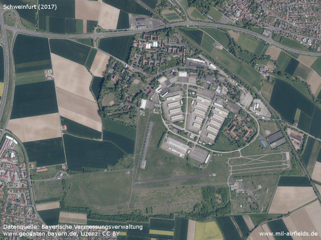
Overview
Source: Datenquelle: Bayerische Vermessungsverwaltung www.geodaten.bayern.de, License: Creative Commons Namensnennung 3.0 Deutschland (CC BY 3.0 DE)
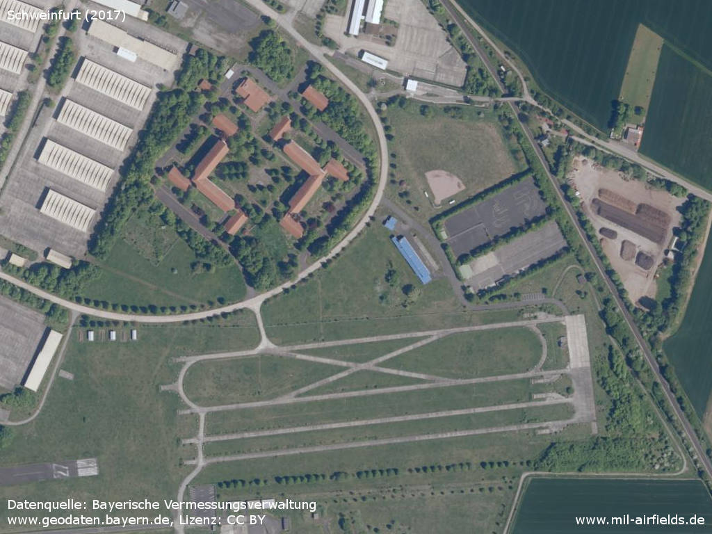
Aerial picture (2017)
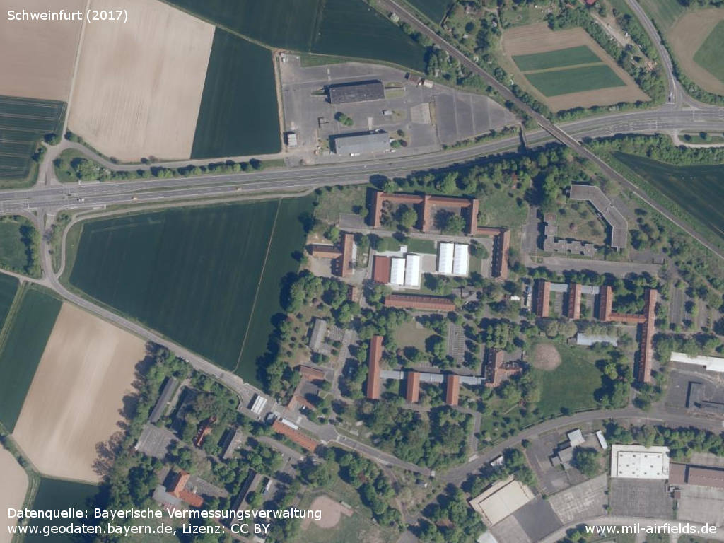
Northern part - Patton Drive, Franklin Drive, Grant Drive, Jeb Stuart Street, Sheridan Drive, Roosevelt Road
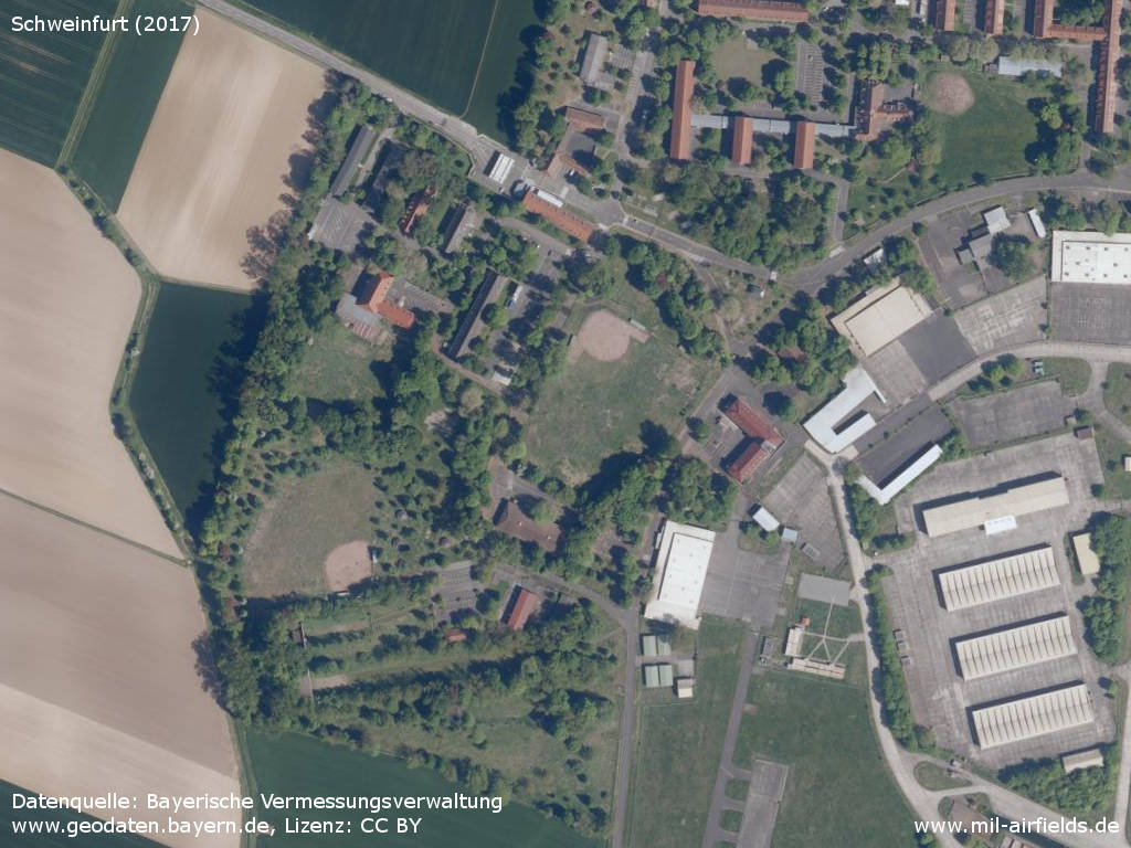
Western part - At the bottom, the rifle range is visible. Harmon Boulevard, Kennedy Drive, Mc Clellan Avenue
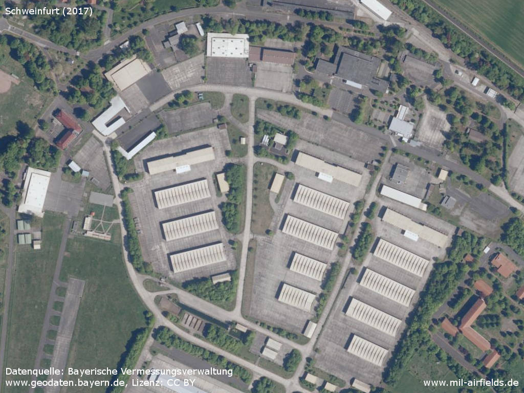
Central part - The structure of the old Fliegerhorst with the hangars is still visible. Patton Drive, Churchill Road, Custer Road,
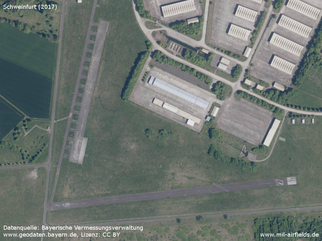
Runway 09/27, taxiway to the north-northeast and helicopter parking area.
Training site
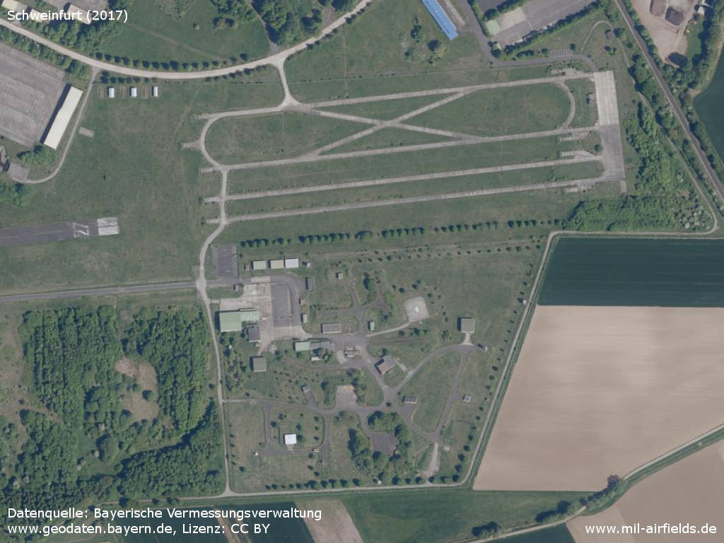
The lower half of the picture shows the former Hawk anti-aircraft missile site (Tac site Geldersheim)
Links
- https://geoportal.bayern.de/ - Geoportal Bayern
Airfields in the vicinity
Categories
Military Airfields GermanyMilitary Airfields in former West GermanyUS Army Airfields and Heliports in GermanyRecommended

Image credits are shown on the respective target page, click on the preview to open it.
 Follow mil-airfields on Facebook