For historical information only, do not use for navigation or aviation purposes!
| Coordinates | N512251 E0112651 (WGS84) Google Maps |
| Elevation | 932 ft |
| Former East Germany (GDR) | District of Halle |
| Location indicator | EDBT |
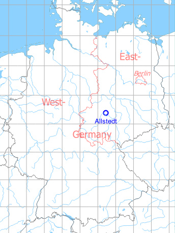
Germany during the Cold War Map
The history of the Cold War airfields: Allstedt
General
Allstedt airfield was built for the Soviet air forces in the 1950s. In the following years it was repeatedly expanded and was the home of a reconnaissance regiment. After the withdrawal of the Russian troops in the early 1990s, the field has been used as a special field for general aviation since the mid-1990s.
Location of airfield
The airfield is located ca. 4.5 km southeast of Allstedt.
During the Cold War
Use
Soviet airbase.
In the 1970s
Situation
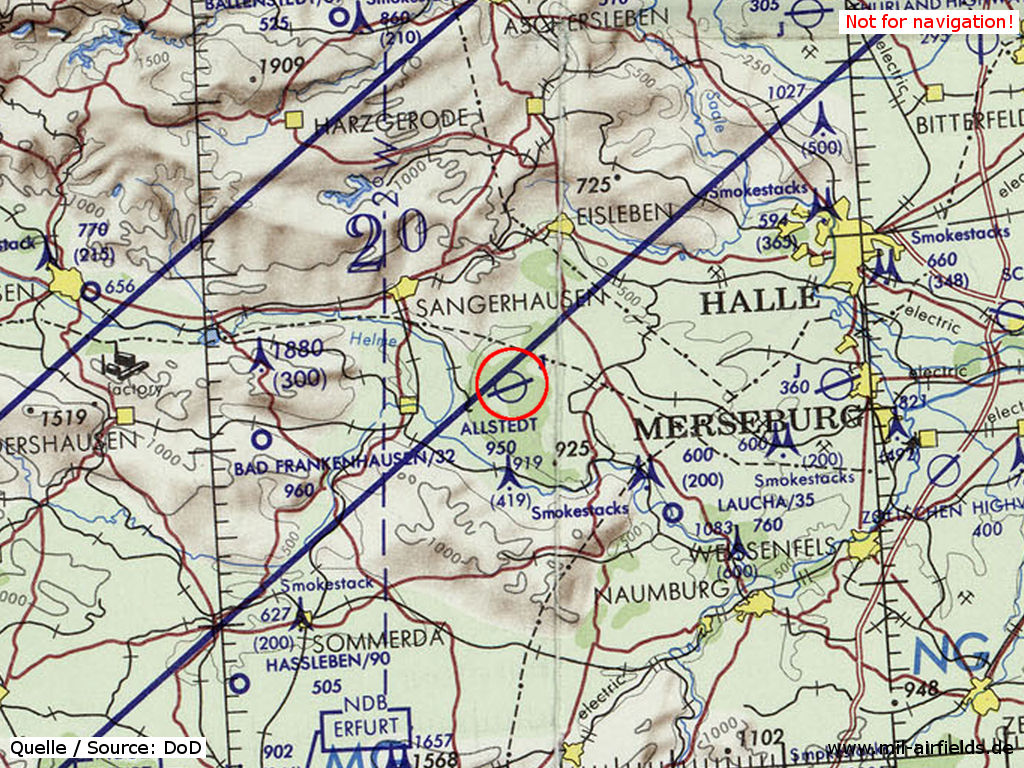
Allstedt Soviet Air Base on a map of the US Department of Defense from 1972 - The blue lines mark the southern allied air corridor from and to Berlin
Source: ONC E-2 (1972), Perry-Castañeda Library Map Collection, University of Texas at Austin
Overview
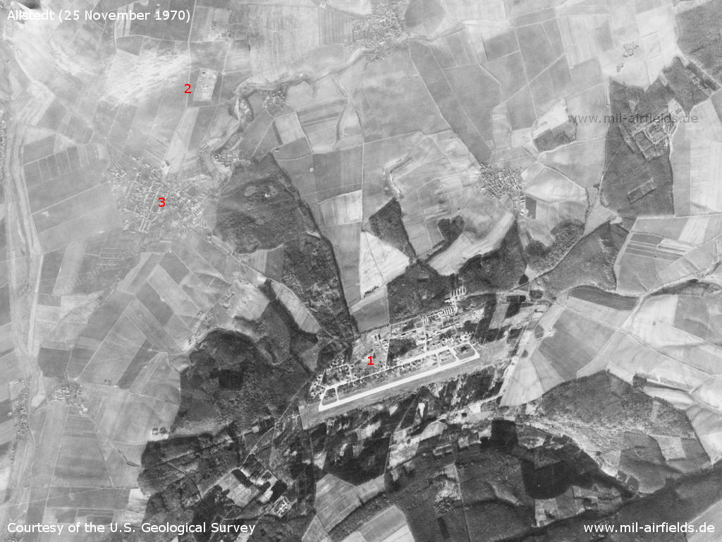
Allstedt Air Base on a US satellite image from 25 November 1970 - 1=Airfield, 2=Anti-aircraft missile site, 3=Allstedt village
Source: U.S. Geological Survey
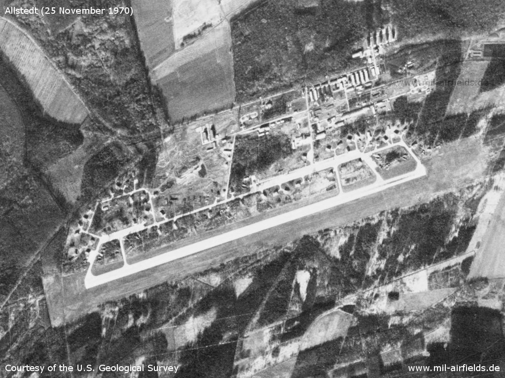
The airfield
Source: U.S. Geological Survey
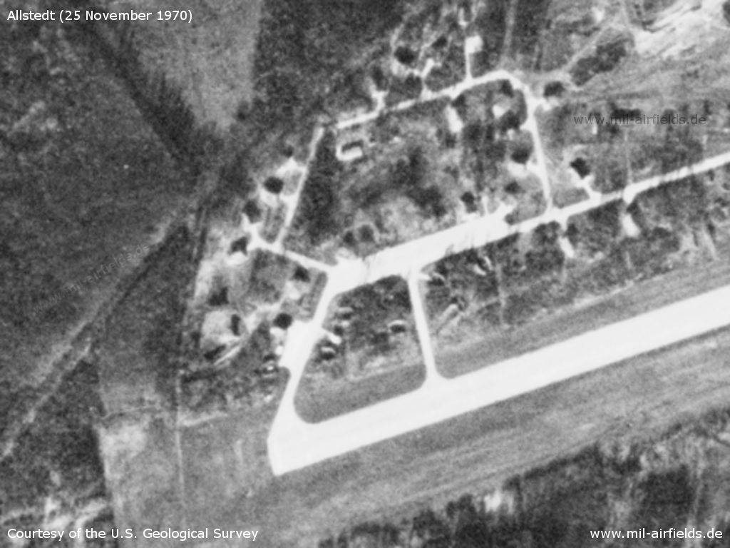
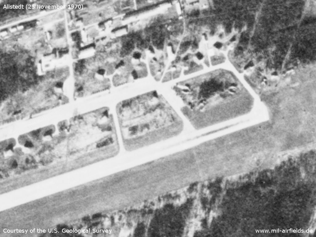
Western end - The field is equipped with numerous shelters
Source: U.S. Geological Survey
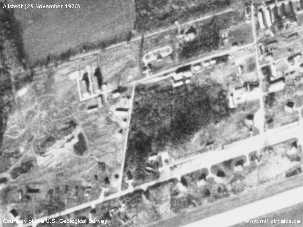
There are several installations in the northern part of the airfield
Source: U.S. Geological Survey
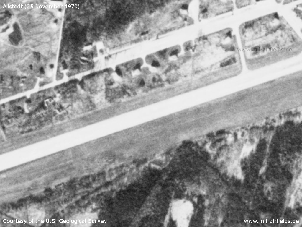
Center part of the runway
Source: U.S. Geological Survey
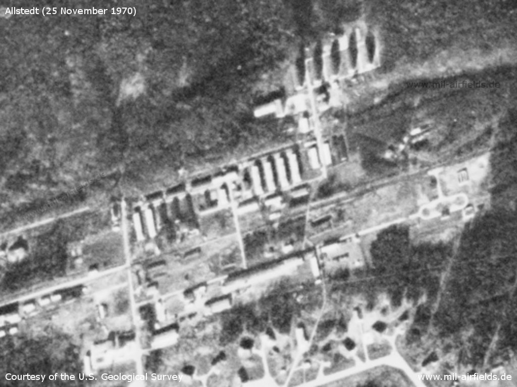
Northeastern area
Source: U.S. Geological Survey
Eastern end of runway
Source: U.S. Geological Survey
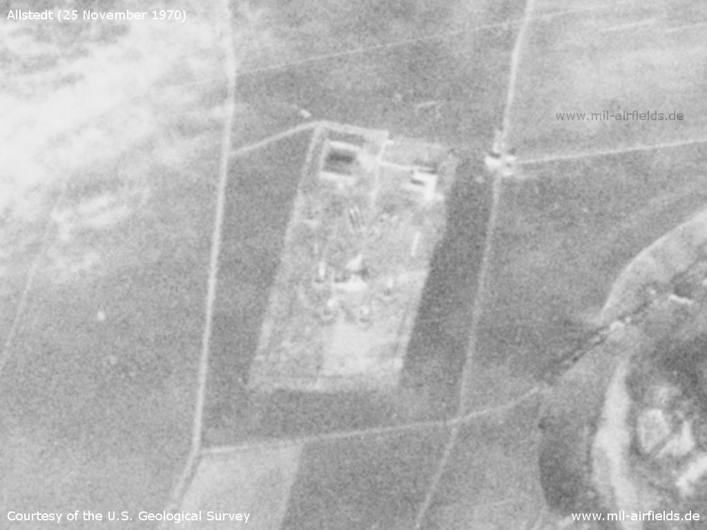
Anti-aircraft missile site - It was located about 5 km northwest of the airfield
Source: U.S. Geological Survey
In the 1980s and early 1990s
Runways
Data for the year 1990
- 07/25: 2500 m x 60 m Concrete
Radio beacons
Data for the year 1990
- LOM 25: 365 "LU"
- LMM 25: 740 "L"
- LOM 07: 365 "BZ"
- LMM 07: 740 "B"
Radio communication
The russian radio call sign for the airfield was WADAJOM (means: "Body of Water", original notation in Cyrillic: ВОДОЕМ).
Today
Use
Airfield for general aviation (special airfield).
Related topics
Airfields in the vicinity
- 301°/31km Dietersdorf: Helipad 3144 (HSLP / HLP 3144)
- 069°/35km Halle (Saale): Nietleben Airfield
- 093°/35km Merseburg: Air Base
- 210°/35km Sprötau: Helipad 3140 (HSLP / HLP 3140)
- 192°/39km Großobringen: Helipad 3012 (HSLP / HLP 3012)
Categories
Military Airfields GermanyMilitary Airfields in former East GermanyAirfields of the Soviet Forces in GermanyRecommended
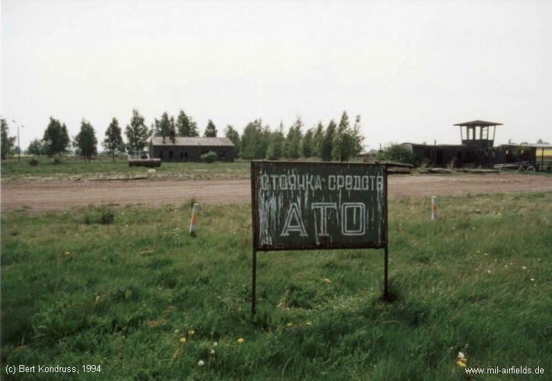
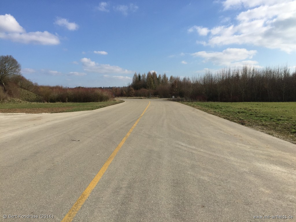
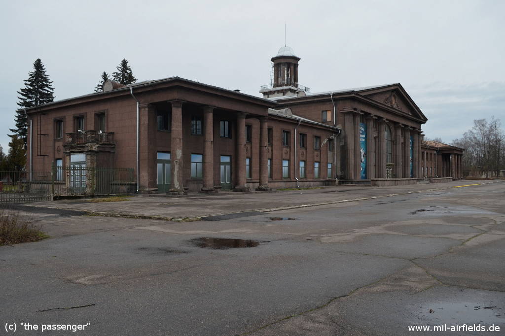
Image credits are shown on the respective target page, click on the preview to open it.