Feucht: Army Airfield AAF
For historical information only, do not use for navigation or aviation purposes!
| Coordinates | N492311 E0111029 (WGS84) Google Maps |
| Federal state | Bayern (Bavaria) |
| Location indicator | EDIG |
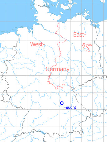
Germany during the Cold War Map
The history of the Cold War airfields: Feucht
General
Feucht is a community southeast of Nuremberg. In the 1960s, northwest of the village an airfield was built for the US Army, which had mainly stationed helicopters here. which was put into operation around 1967/68. The runway length was only 1036 m (3400 ft) over all years, because helicopters were mainly stationed here. At first there was no radio beacon, but from about 1970 a non-directional radio beacon (NDB) was available and a little later also a precision approach radar (PAR). In the south was a railway siding to the ammunition depot.
After the withdrawal of US troops at the beginning of the 1990s, the airfield was converted into an industrial park. The control tower and other buildings have been preserved.
During the Cold War
Use
US Army airfield.
In the 1960s
Radio communication
- Tower 122.1, 31.8
In the 1970s
Situation
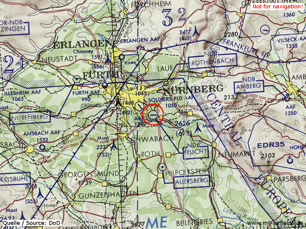
Feucht Army Airfield AAF on a map of the US Department of Defense from 1972
Source: ONC E-2 (1972), Perry-Castañeda Library Map Collection, University of Texas at Austin
Overview
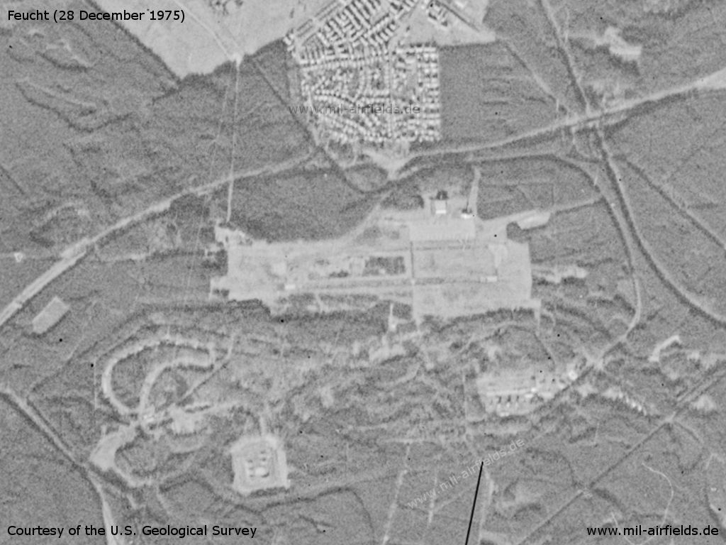
Feucht Army Airfield AAF on a US satellite image from 28 December 1975 - The area is covered with snow. South of the field are further facilities.
Source: U.S. Geological Survey
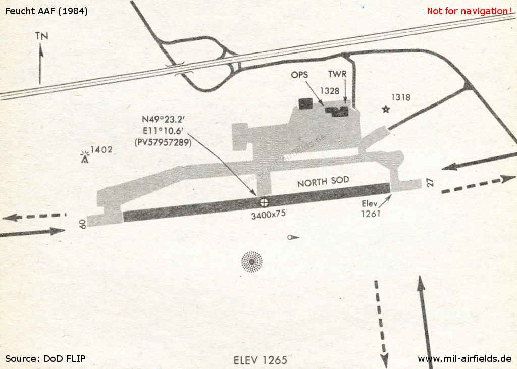
In the 1980s
Situation
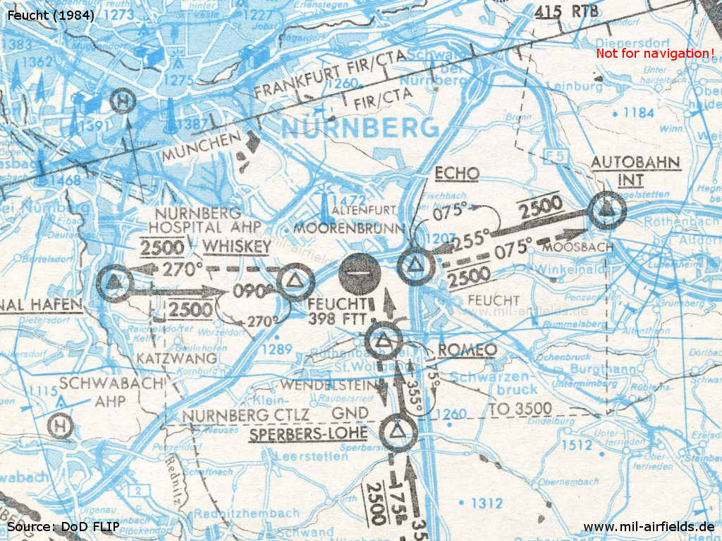
Location of the airfield in the southern part of the Nuremberg Control Zone - The map shows the visual approach routes in 1984.
Source: DoD
Overview
Source: DoD
Runways
- 09/27: 1030 m x 28 m Asphalt / Concrete
Radio beacons
- NDB: 398 "FTT", at field
Radio communication
- Nürnberg Approach 380.5, 119.1, 119.7
- Feucht GCA 123.3, 143.1, 263.7, 385.5, 38.3
- Feucht Tower 338.7, 142.2, 122.1, 264.4, 139.5, 33.6, 31.8
- Feucht Ground 31.3, 141.3
- Metro 140.3
Telephone
ETS 461-4xxx
Today
Use
Closed.
Overview
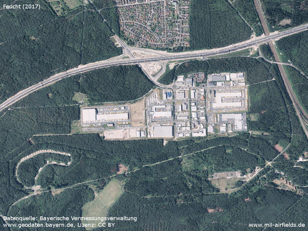
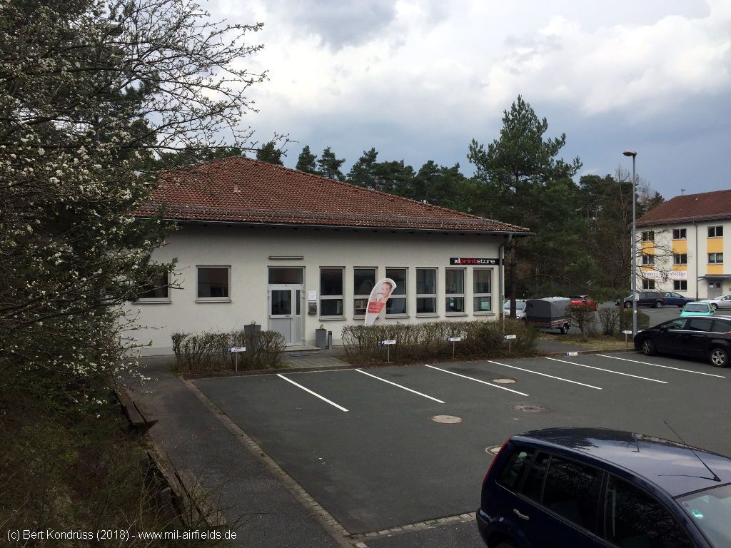
Aerial picture from June 2017 - The entire airfield was converted into an industrial area.
Source: Datenquelle: Bayerische Vermessungsverwaltung -
www.geodaten.bayern.de, Lizenz: CC BY
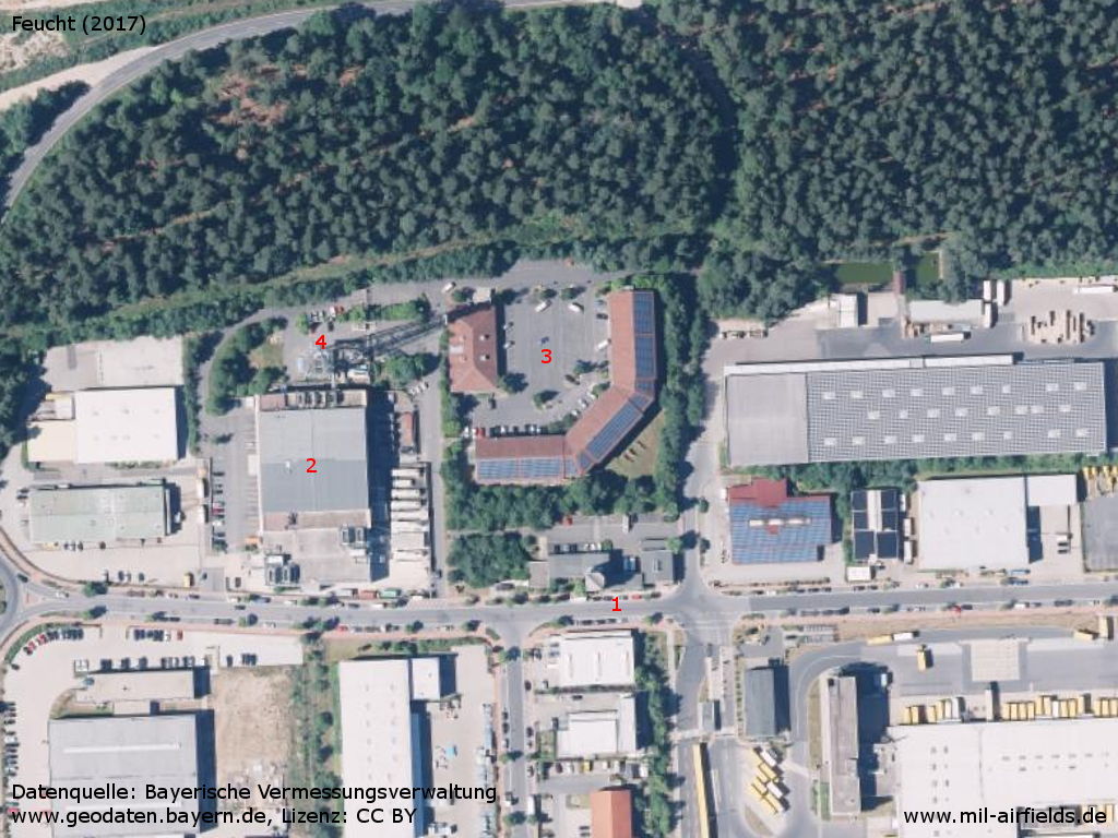
Enlargement - 1: tower; 2: hangar; 3: square with preserved buildings; 4: radio tower
Source: Datenquelle: Bayerische Vermessungsverwaltung -
www.geodaten.bayern.de, Lizenz: CC BY
Images
The following pictures were taken in 2018.
Thanks to Joe for some details on the buildings!
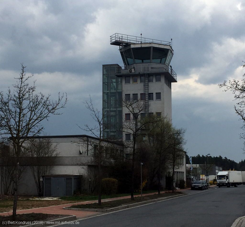
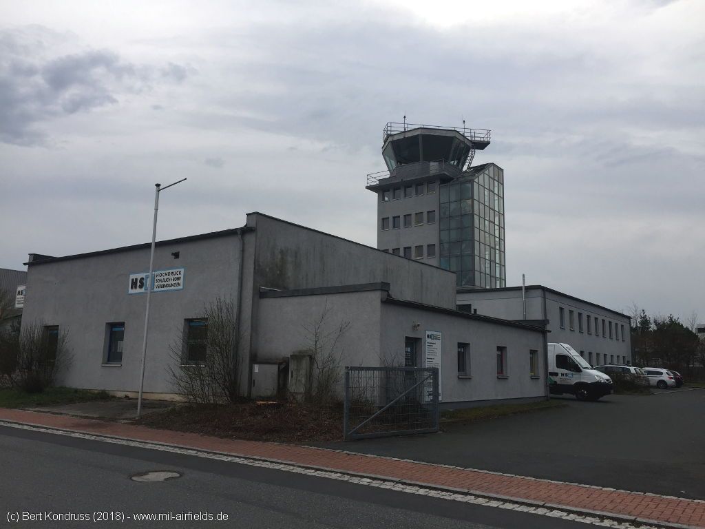
The control tower of the former airfield is still very well preserved.
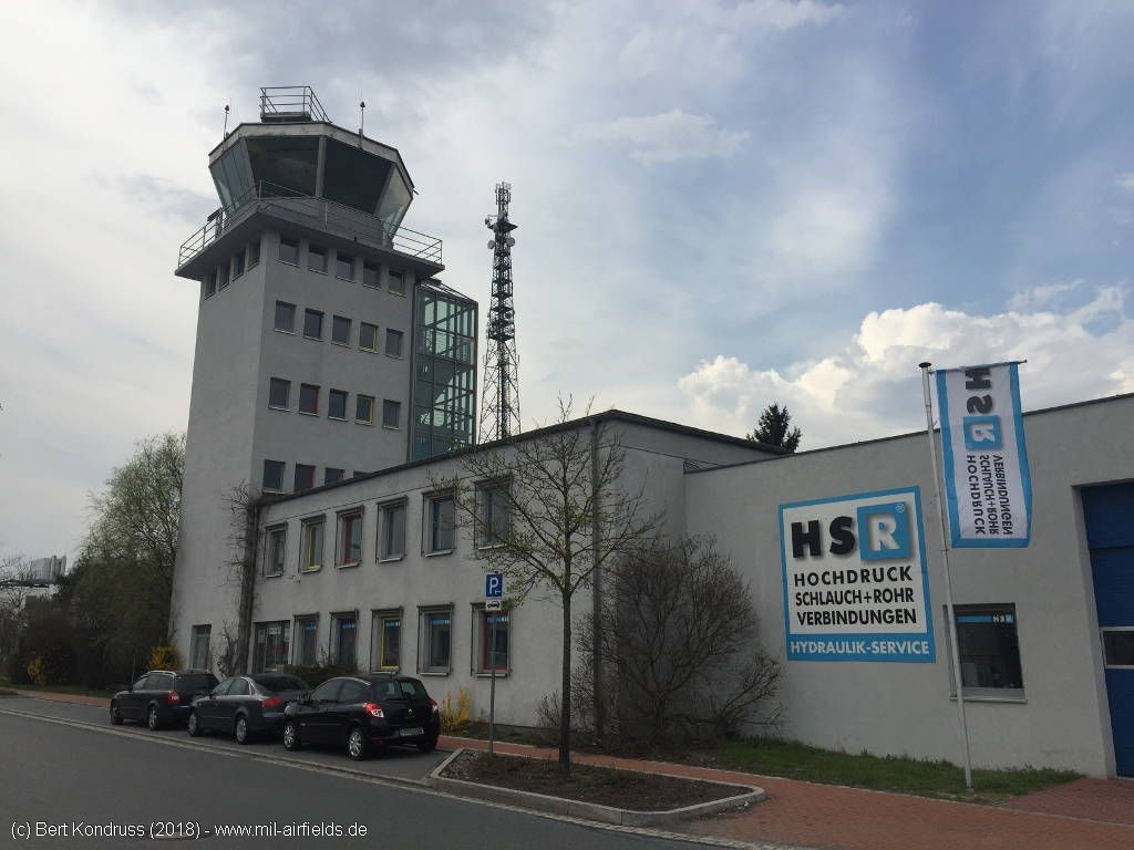
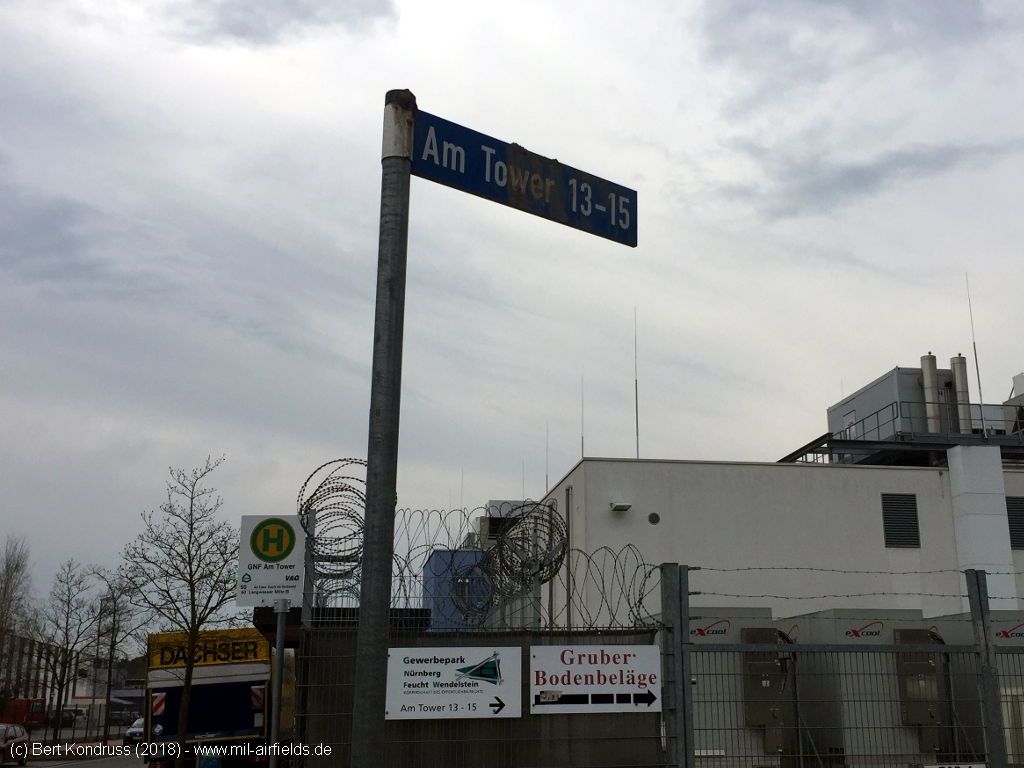
The street and the bus stop are called "Am Tower" (At the Tower).
Entrance to the Tower building
Back
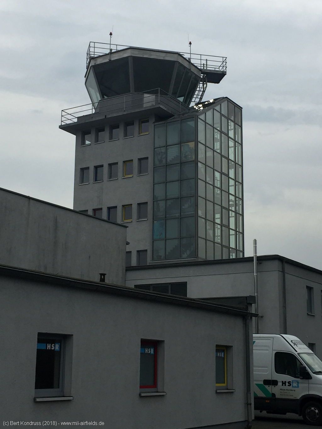
Tower with staircase
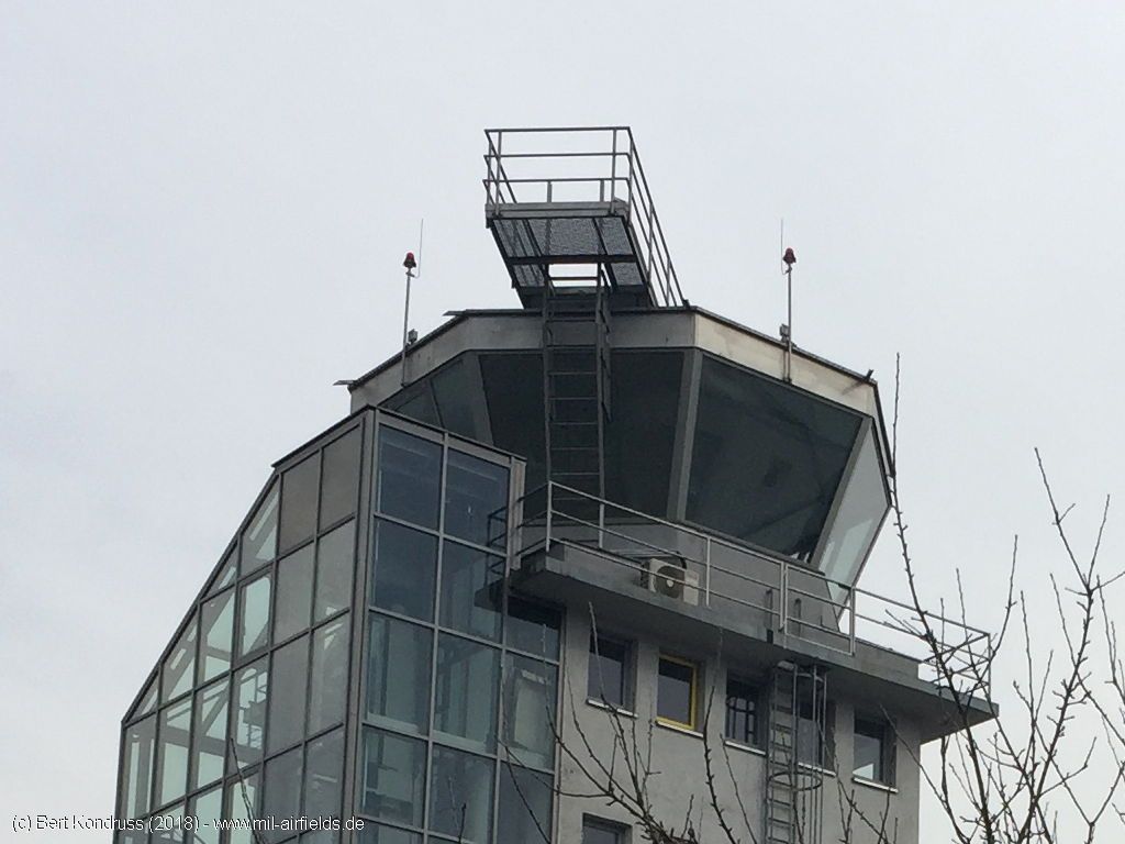
Enlargement: construction
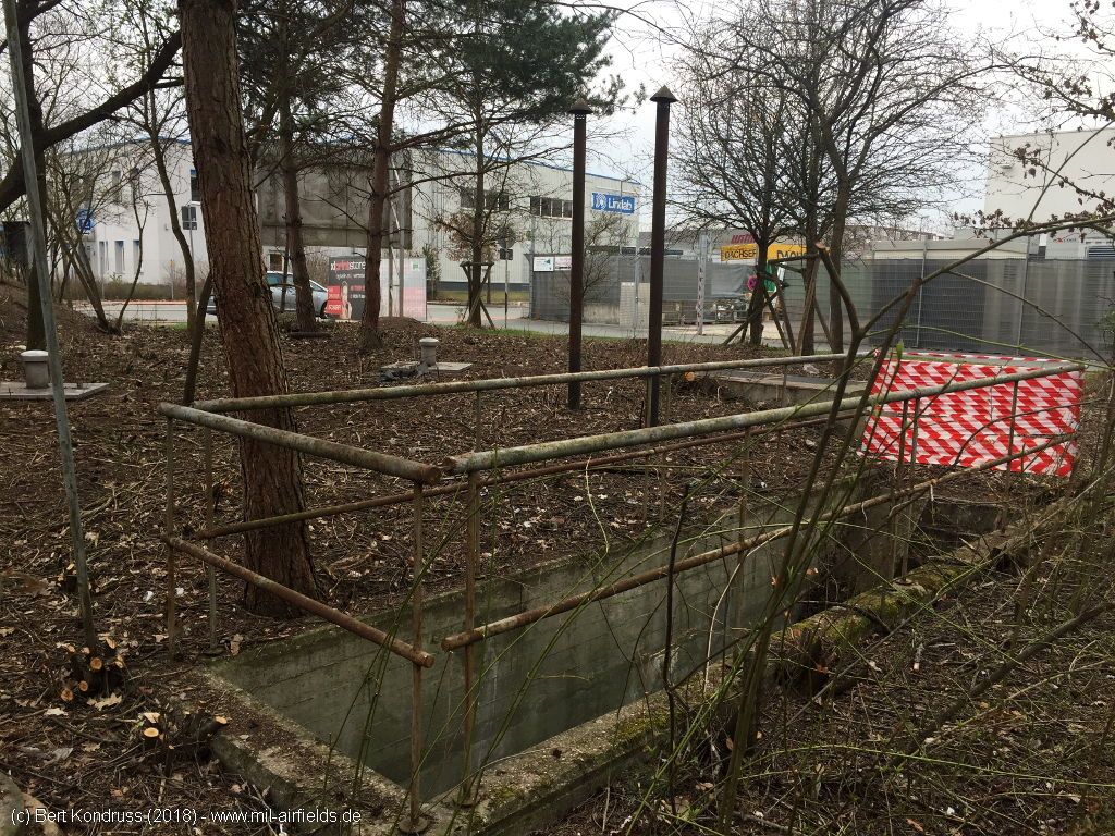
Underground installation
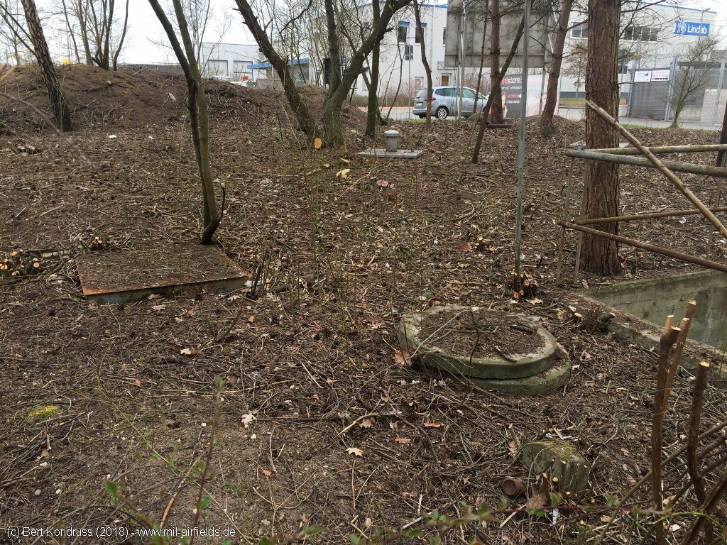
Installations
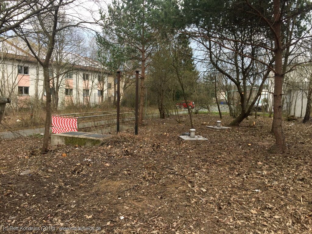
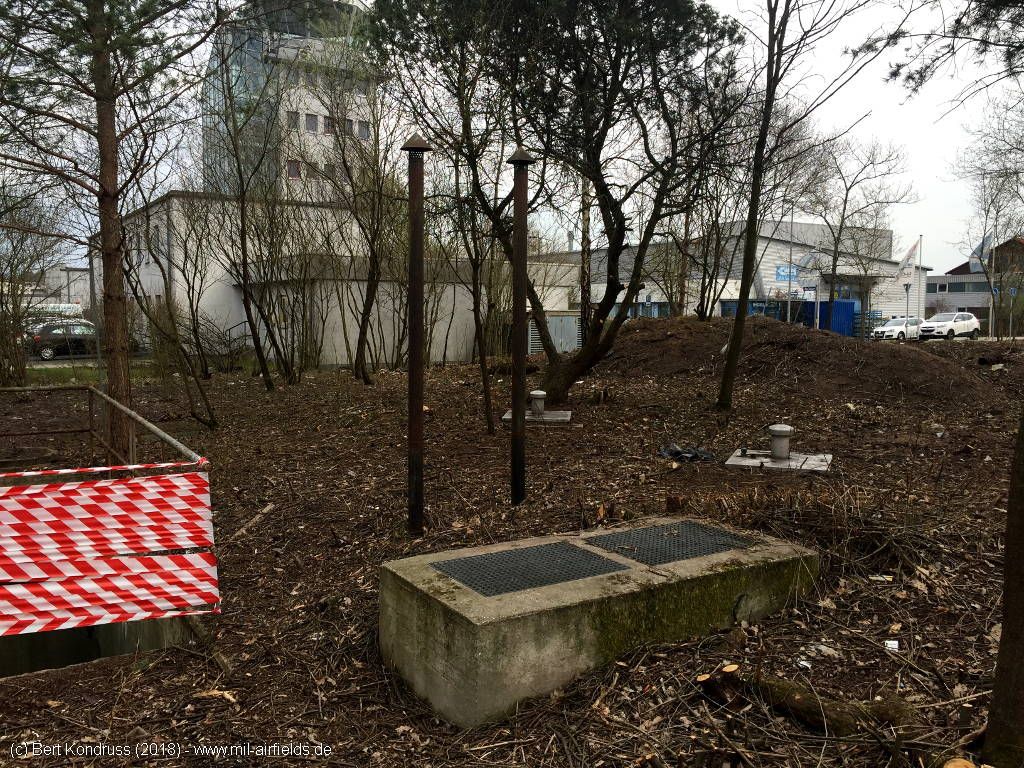
The installation is located on the west side of the control tower, which can be seen in the background.
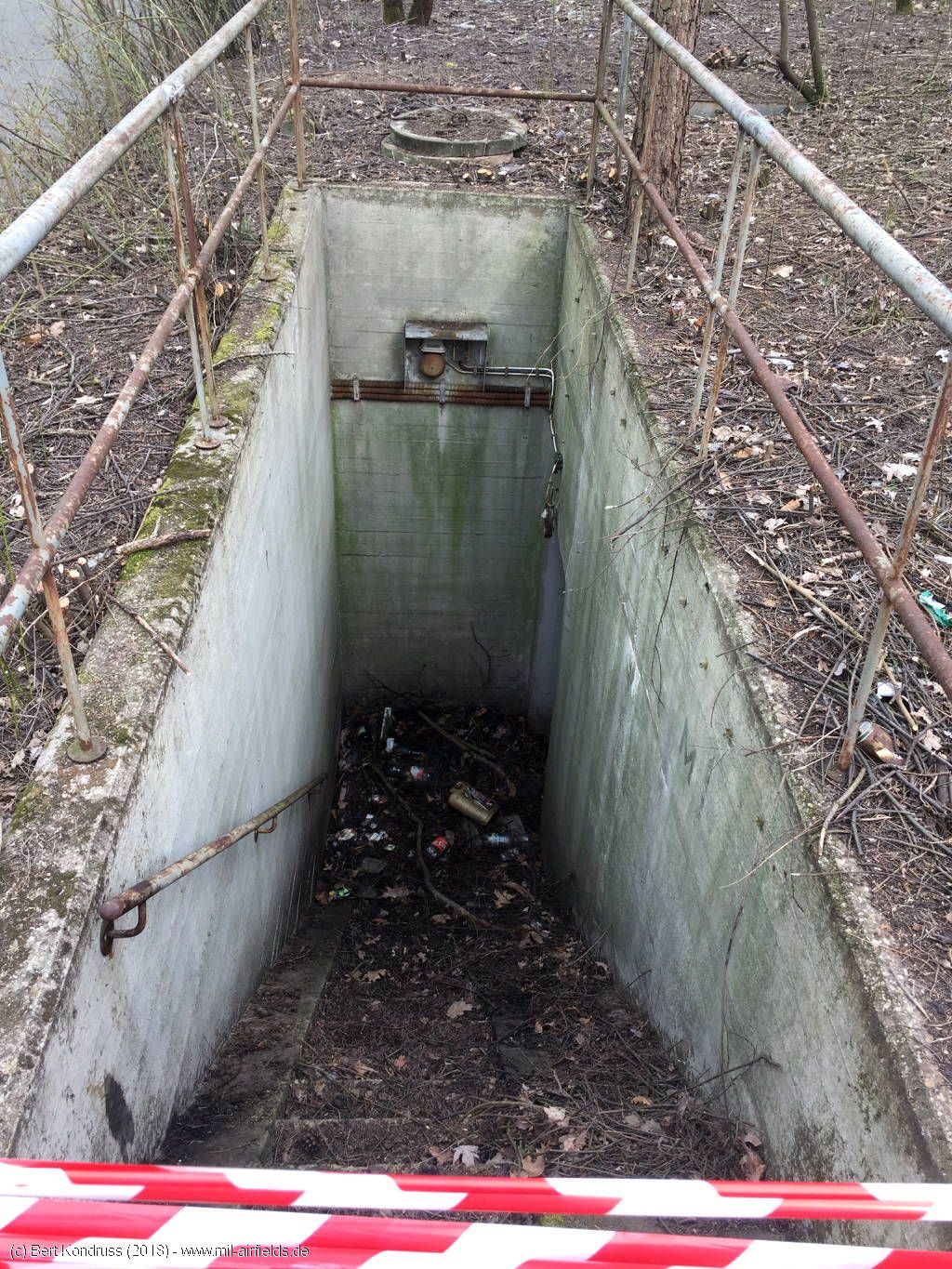
Stair
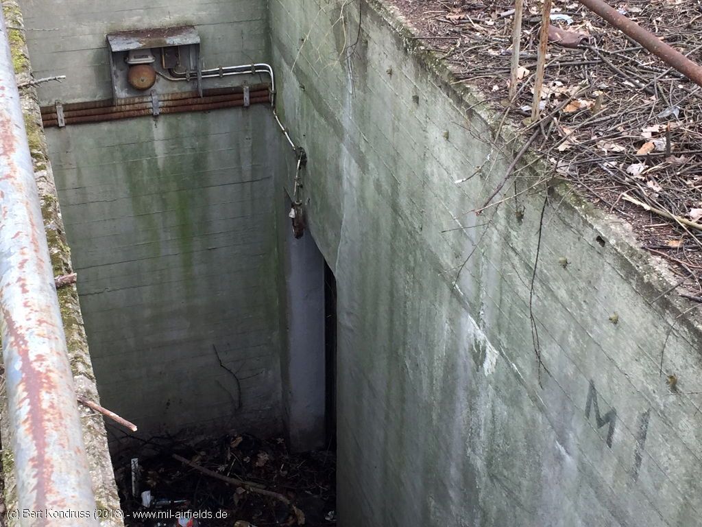
Entrance
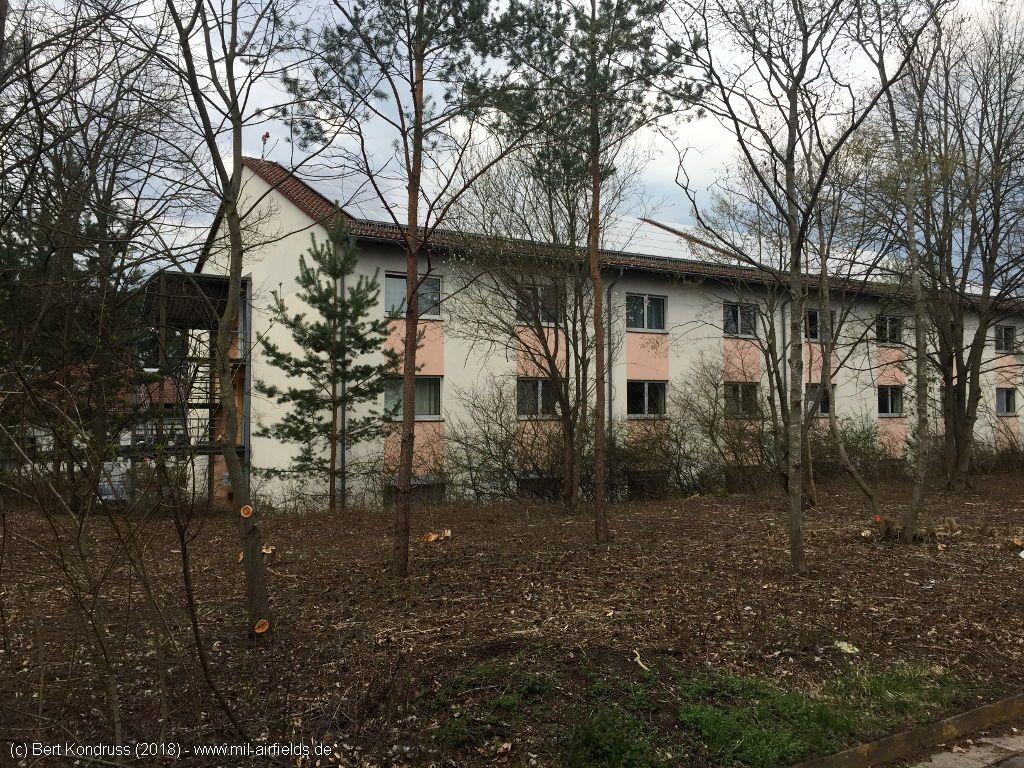
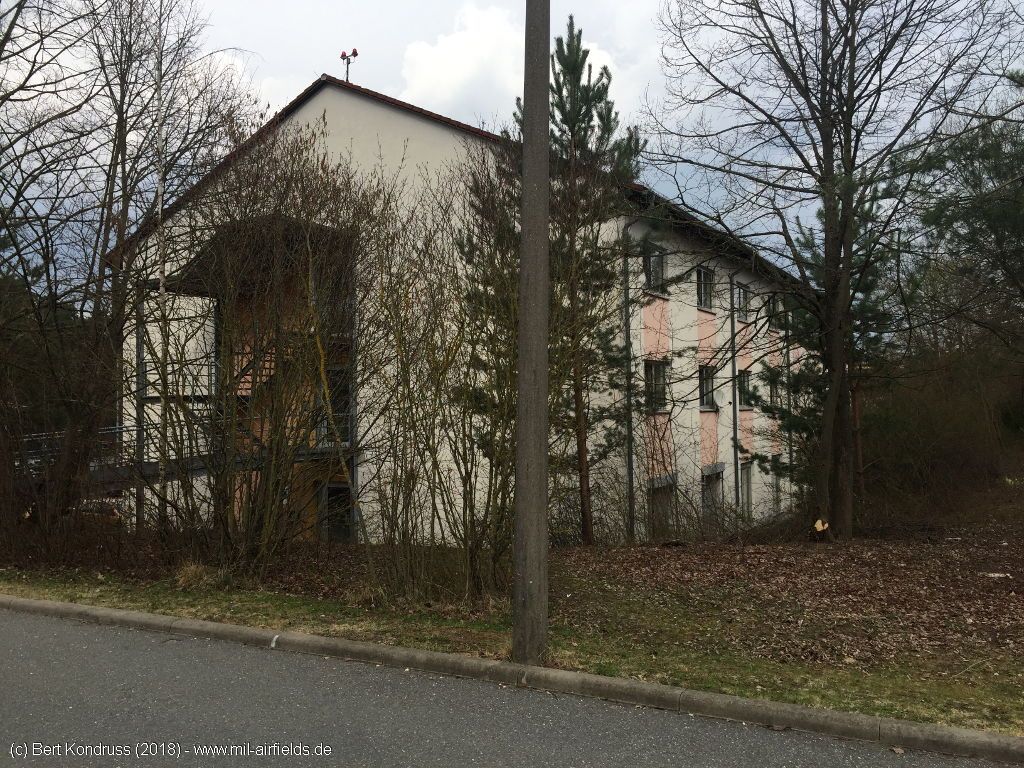
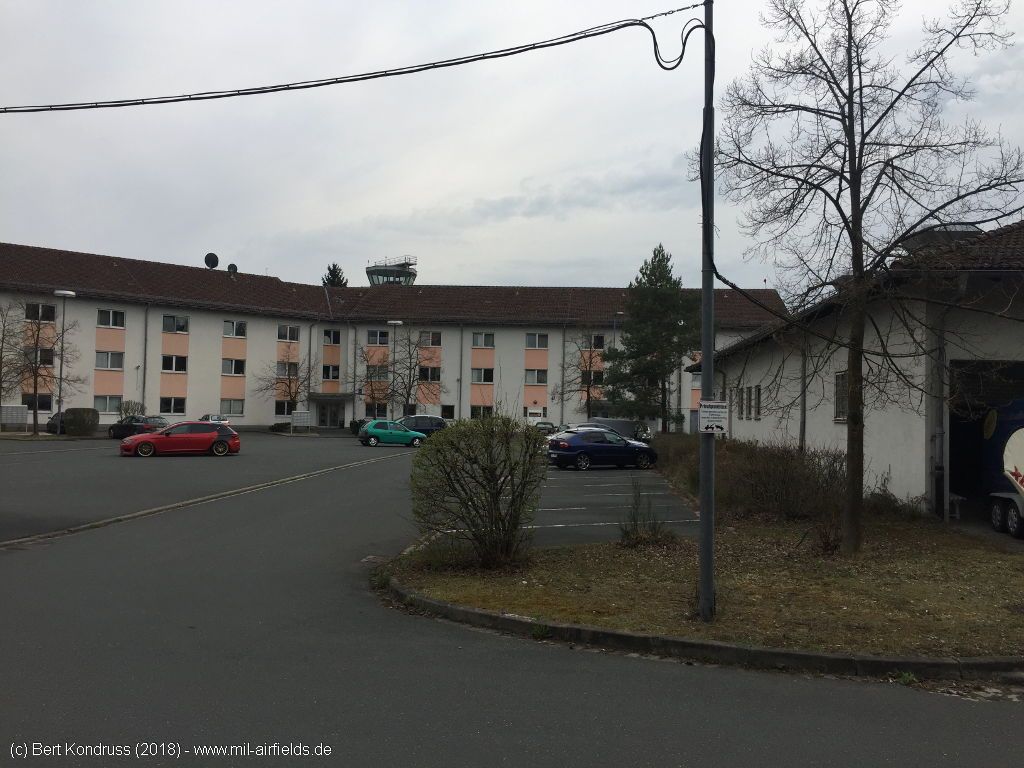
Barracks north of the Control Tower - This is where the soldiers lived in.
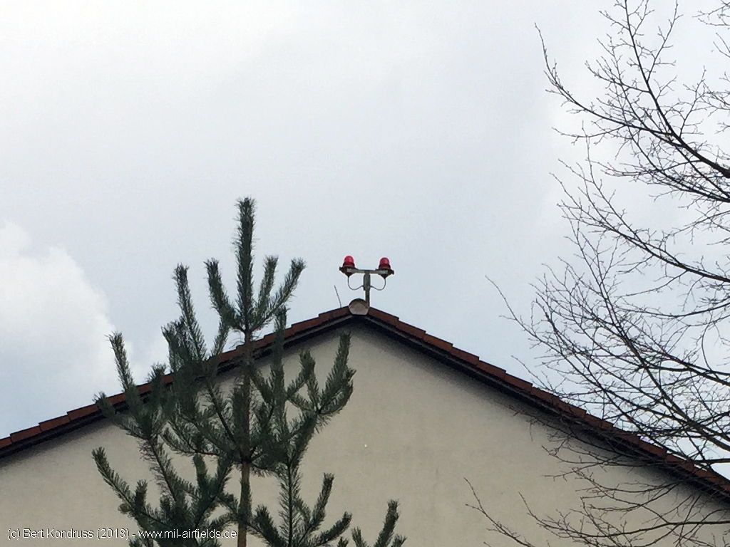
There is still an obstacle light on the roof.
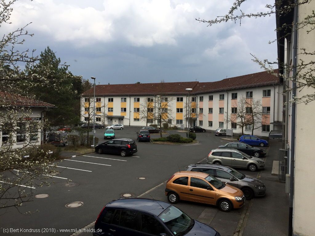
Place in the north with buildings
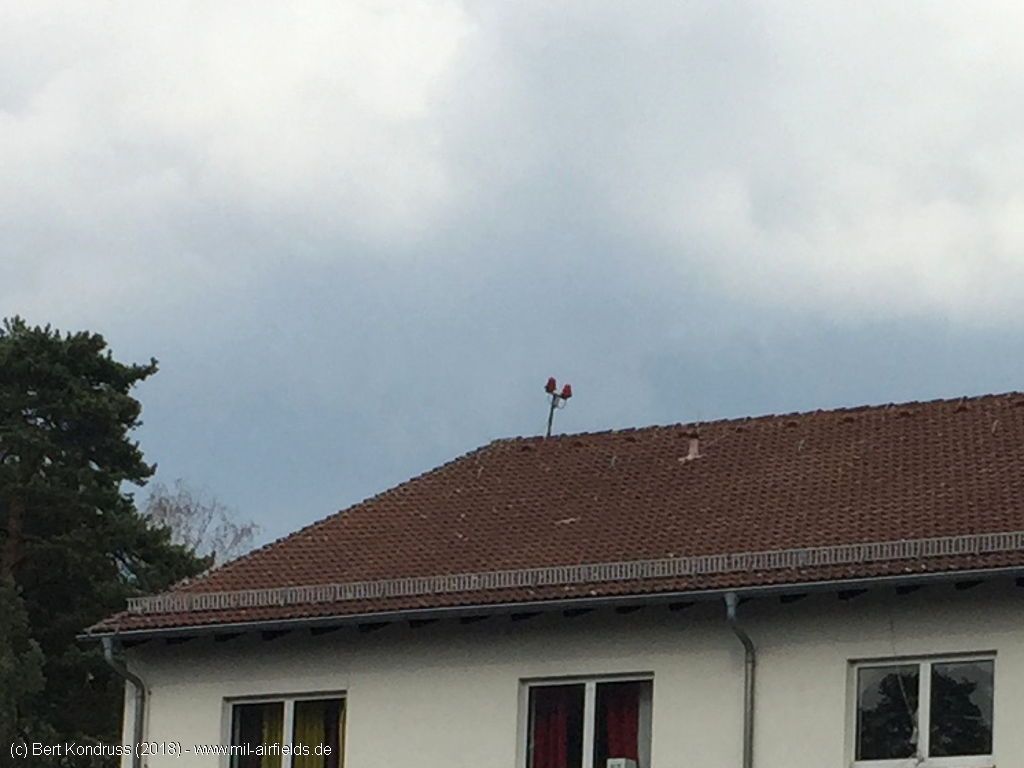
Also here there are still obstacle lights
Mess hall - All the soldiers were served breakfast, lunch and dinner here.
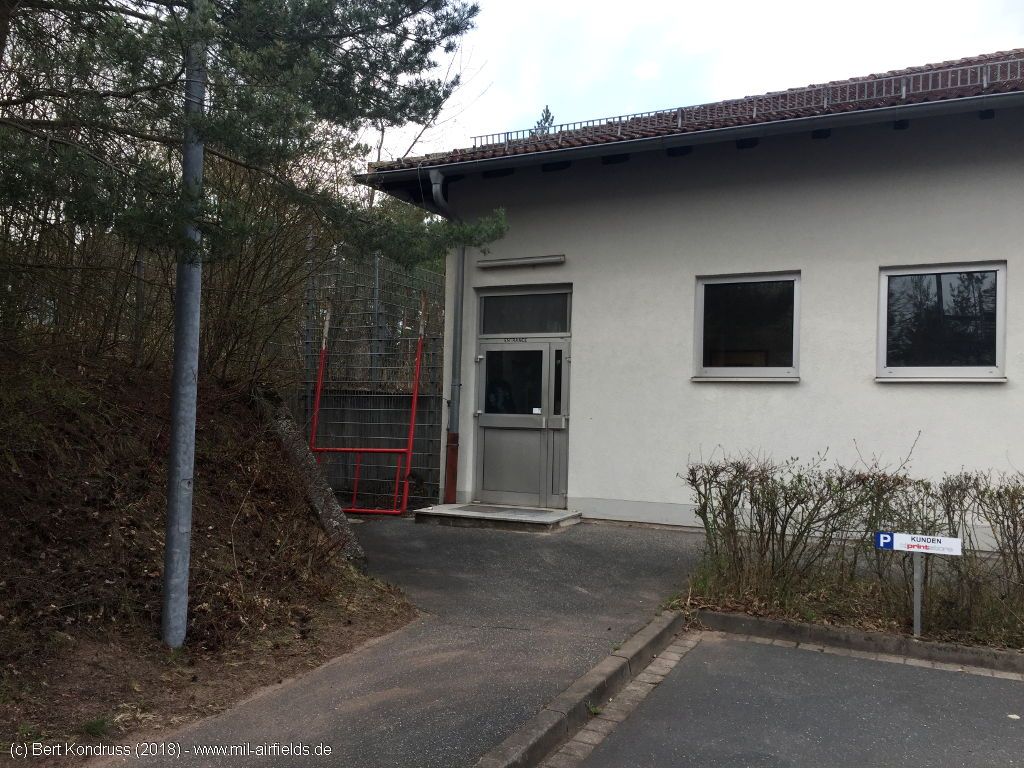
Entrance door
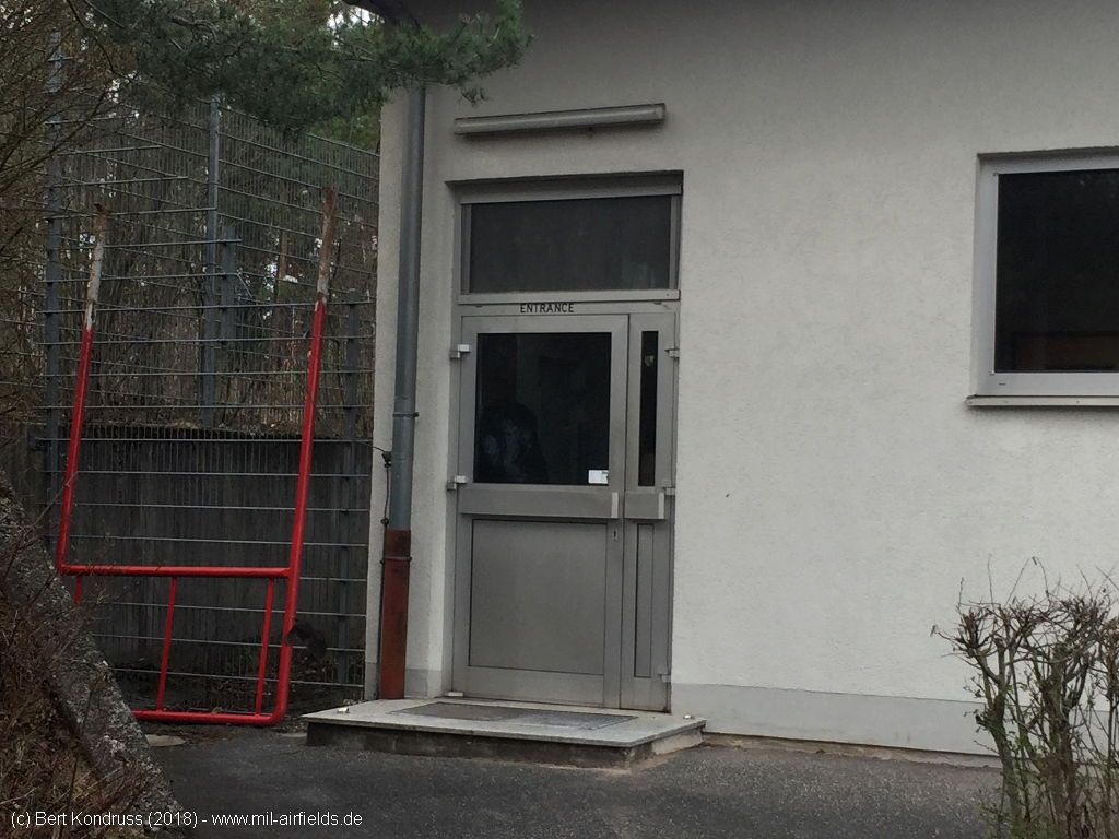
The door has an English inscription "Entrance".
Buildings with the tower in the background
Mess hall - In the background right the former hangar
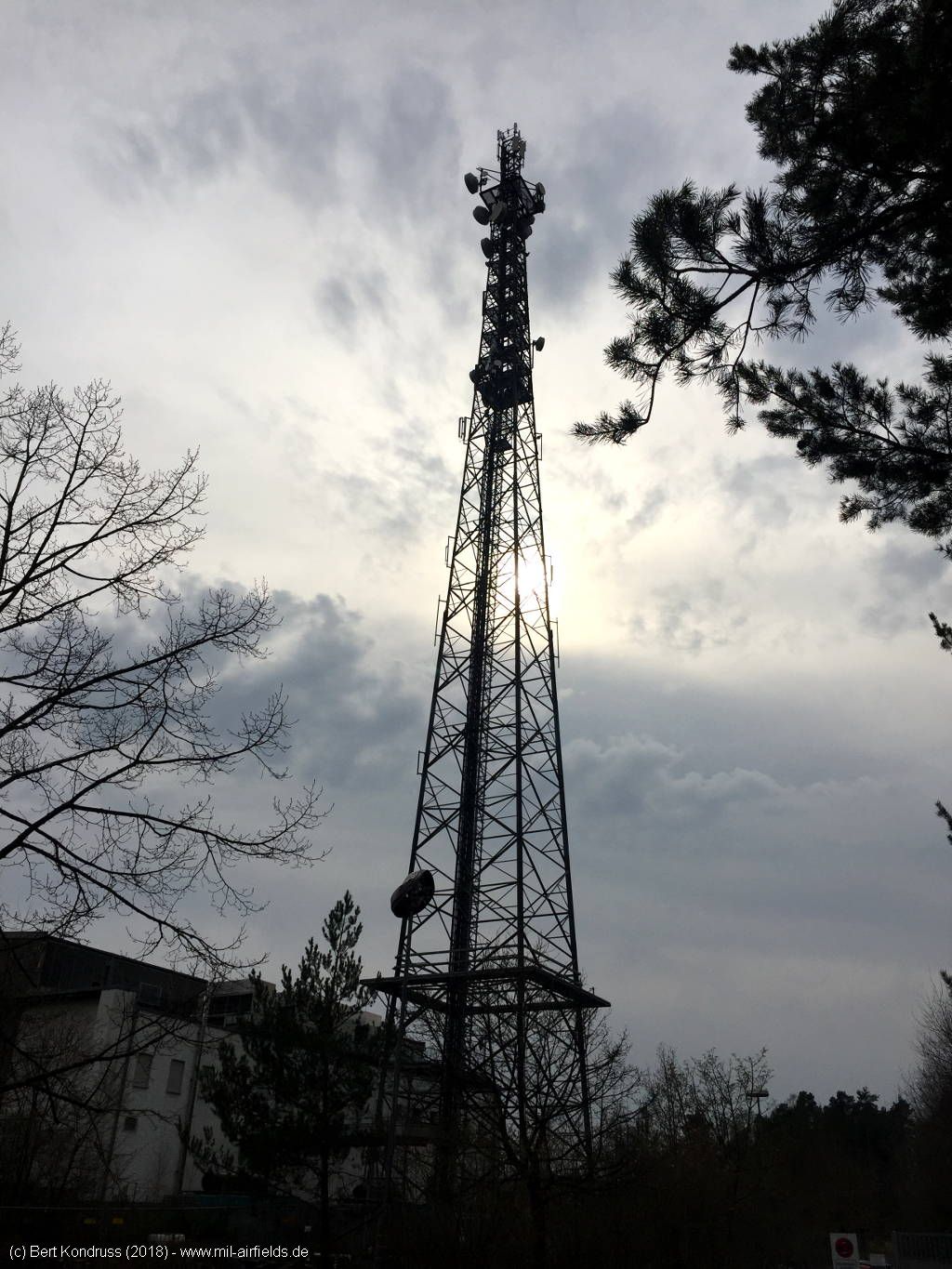
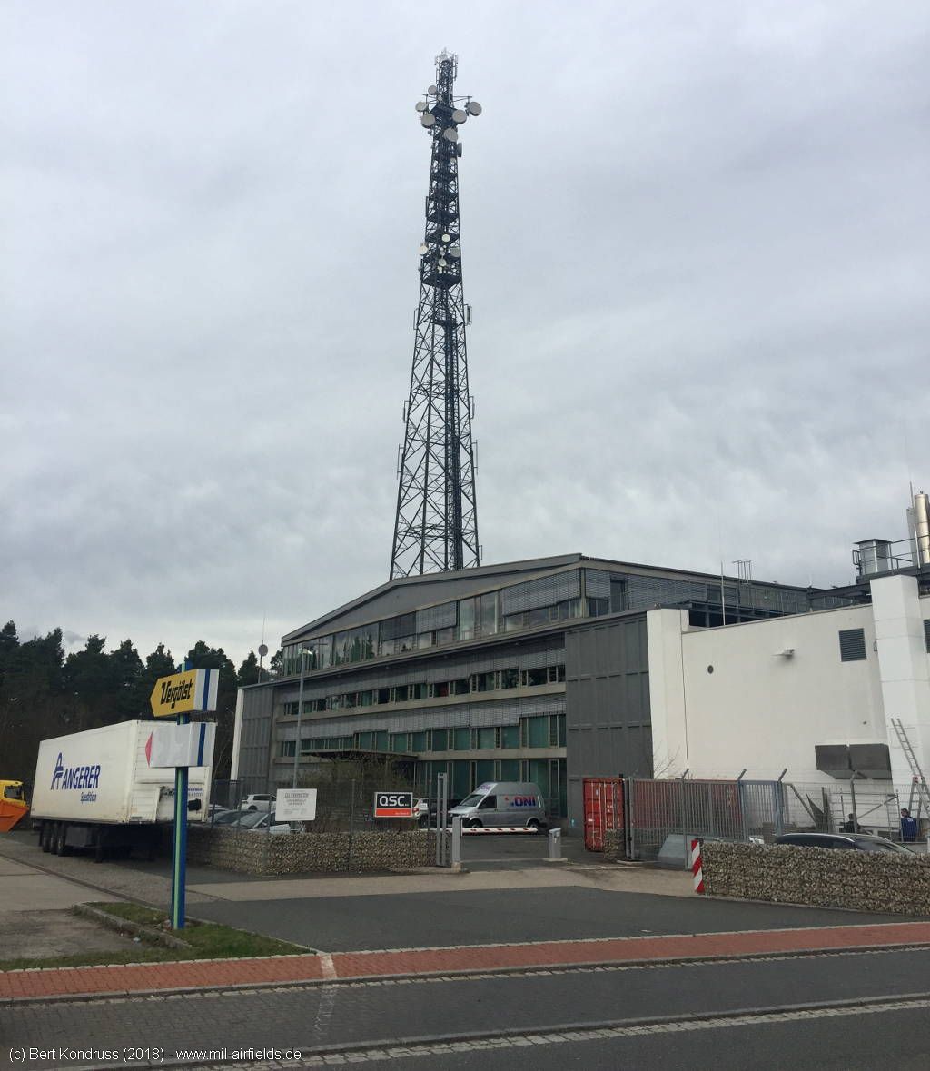
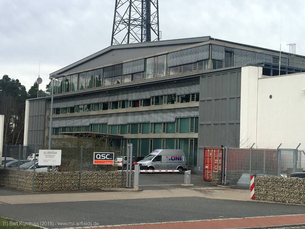
Radio tower - This was probably added later, at least there are no indications of it until 1990.
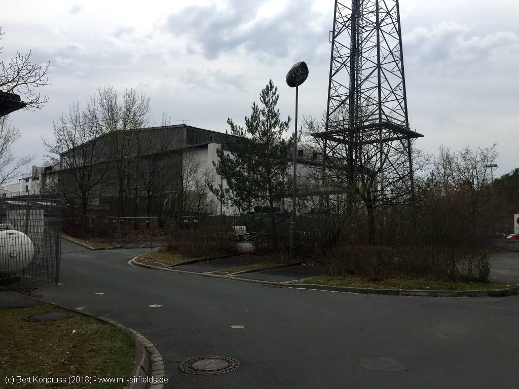
The telecommunications tower stands right next to the hangar.
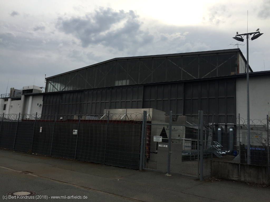
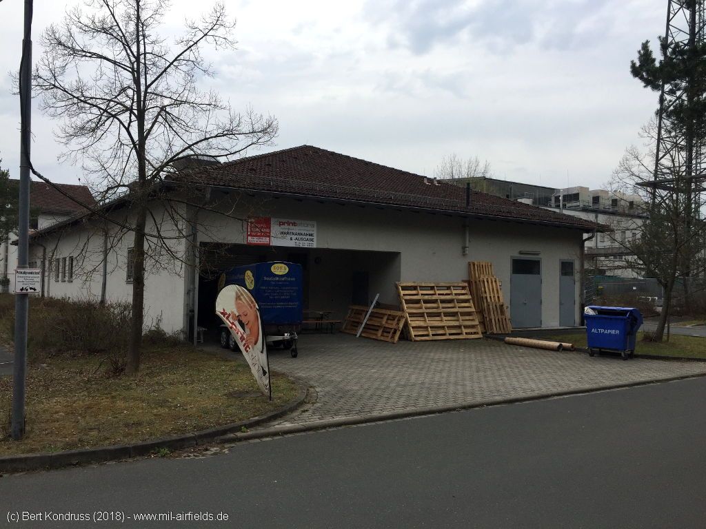
Hangar
The hangar from the other side.
Detail
Sources
- https://www.ldbv.bayern.de/produkte/weitere/openda... - Bayerische Vermessungsverwaltung / OpenData
Links
- https://m136.de/bilder-einer-laengst-vergangenen-z... - Bilder einer längst vergangenen Zeit ... (Pictures of a time long gone) The third and fourth picture shows helicopter in front of Feucht hangar.
Airfields in the vicinity
- 316°/6km Nürnberg: Soldiers Field Army Airfield (AAF, Nurnberg New, Great Road)
- 300°/18km Fürth: Dambach Housing Area Helipad
- 304°/19km Fürth: Industrieflughafen Airport (Nuremberg-Fürth Industriehafen Airfield, Fürth Industrie)
- 196°/20km Roth: Airfield (Kiliansdorf)
- 308°/20km Fürth: Army Airfield AAF (Nürnberg-Fürth Airport, Atzenhof, Monteith Barracks Army Heliport Furth)
Categories
Military Airfields GermanyMilitary Airfields in former West GermanyUS Army Airfields and Heliports in GermanyRecommended
Image credits are shown on the respective target page, click on the preview to open it.
 Follow mil-airfields on Facebook