Wildflecken: Army Airfield AAF
For historical information only, do not use for navigation or aviation purposes!
| Coordinates | N502347 E0095512 (WGS84) Google Maps |
| Elevation | 2166 ft |
| Federal state | Bayern (Bavaria) |
| Region | Rhön |
| Location indicator | EDOW (1990) |
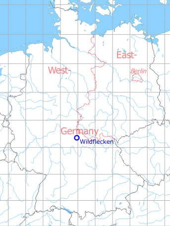
Germany during the Cold War Map
The history of the Cold War airfields: Wildflecken
During the Cold War
General
US Army airfield at the Wildflecken training area.
Noticeable:
- The airfield was located within the Air Defense Identification Zone (ADIZ)
- Only 16 km away from the inner-German border
Situation
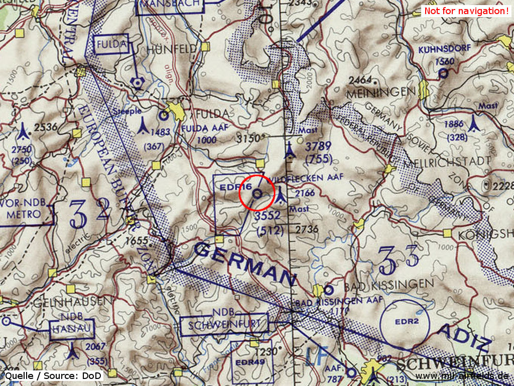
Wildflecken Army Airfield (AAF) on a map of the US Department of Defense from 1972 - The restricted area ED(R)-16 protects the training area. The field is located within the ADIZ (Air Defense Identification Zone). In the northeast is the border to East Germany (Soviet Zone).
Source: Wildflecken Army Airfield on a US map 1972
Overview
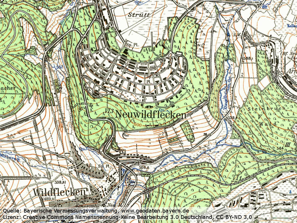
Wildflecken airfield on a topographical map from 1968 (top center).
Source: Bayerische Vermessungsverwaltung, License: Creative Commons Namensnennung-Keine Bearbeitung 3.0 Deutschland (CC BY-ND 3.0)
Runways
Data for the year 1990:
- 06/24: 671 m x 18 m Asphalt
Today
Use
Helipad.
Overview
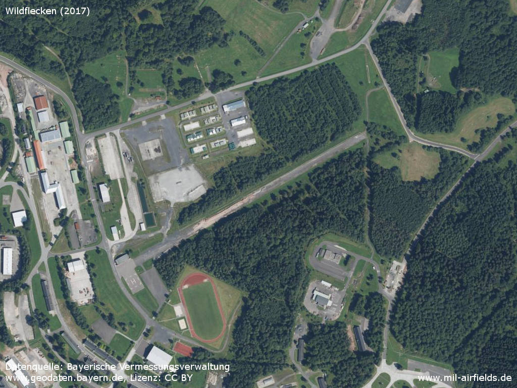
Aerial image (2017) - The runway is out of service, there is a helipad at the western end.
Source: Datenquelle: Bayerische Vermessungsverwaltung www.geodaten.bayern.de, License: Creative Commons Namensnennung 3.0 Deutschland (CC BY 3.0 DE)
Sources
- https://geoportal.bayern.de/ - Geoportal Bayern
Airfields in the vicinity
Categories
Military Airfields GermanyMilitary Airfields in former West GermanyUS Army Airfields and Heliports in GermanyRecommended

Image credits are shown on the respective target page, click on the preview to open it.
 Follow mil-airfields on Facebook