Bad Kreuznach: Army Airfield AAF
For historical information only, do not use for navigation or aviation purposes!
| Coordinates | N495100 E0075325 (WGS84) Google Maps |
| Elevation | 342 ft |
| Location indicator | EDEH (1990) |
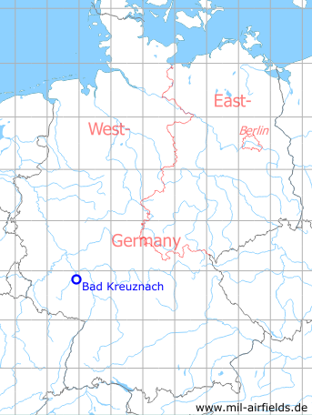
Germany during the Cold War Map
The history of the Cold War airfields: Bad Kreuznach
During the Cold War
Use
US Army airfield.
Situation
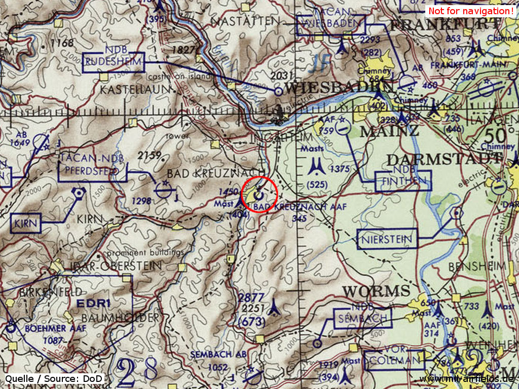
Bad Kreuznach Army Airfield (AAF) on a map of the US Department of Defense from 1972
Source: ONC E-2 (1972), Perry-Castañeda Library Map Collection, University of Texas at Austin
Overview
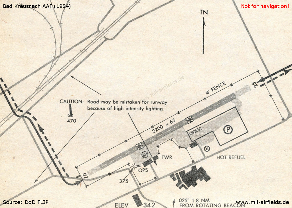
Bad Kreuznach in 1984
Source: US DoD
Runways
Data for the year 1990:
- 07/25: 658 m x 20 m Asphalt
Units
TF ... (4th Bde, 8th ID): 15 UH-60A, 3 EH-60C, 6 OH-58A, 6 OH-58D, 6 UH-1H (1990)
Today
Use
Closed. The area ist completely over-built with an industrial estate.
Overview
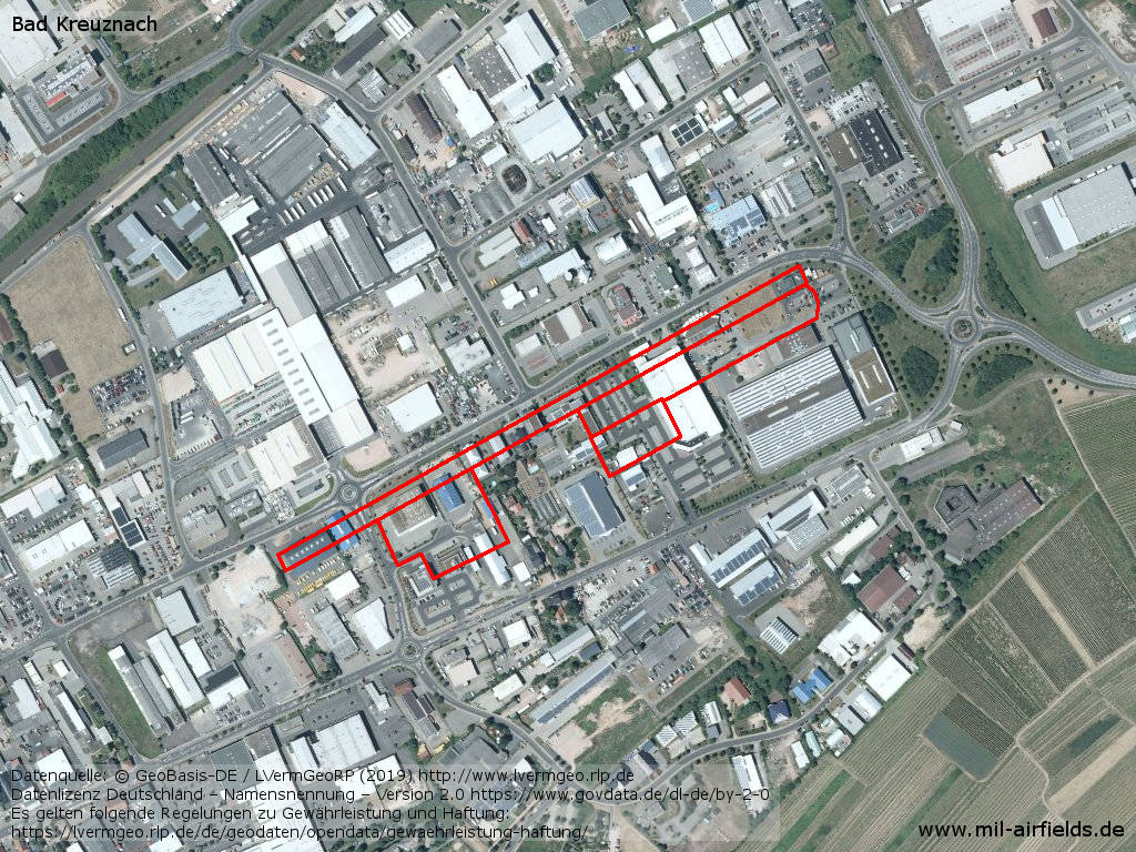
Aerial picture - The red lines show the location of the former runway, parking areas and taxiways between Schwabenheimer Weg and Bosenheimer Straße.
Source: Datenquelle: © GeoBasis-DE / LVermGeoRP (2019), Datenlizenz Deutschland – Namensnennung – Version 2.0 https://www.govdata.de/dl-de/by-2-0, http://www.lvermgeo.rlp.de/
Airfields in the vicinity
- 065°/6km Sprendlingen: Highway Strip (Notlandeplatz)
- 272°/20km Pferdsfeld: Air Base (Eckweiler)
- 054°/23km Mainz: Finthen Army Airfield AAF (Ober-Olm)
- 090°/29km Dexheim: Anderson Barracks Army Heliport AHP (Army Heliport AHP)
- 054°/38km Wiesbaden: Air Base, Army Airfield (Erbenheim)
- 183°/38km Sembach: Air Base (Sembach Air Base)
- 122°/39km Worms: US Army Heliport AHP (US Army Heliport AHP)
Categories
Military Airfields GermanyMilitary Airfields in former West GermanyUS Army Airfields and Heliports in GermanyRecommended
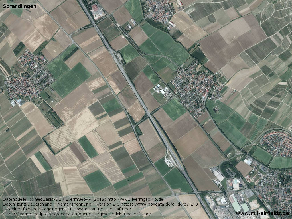
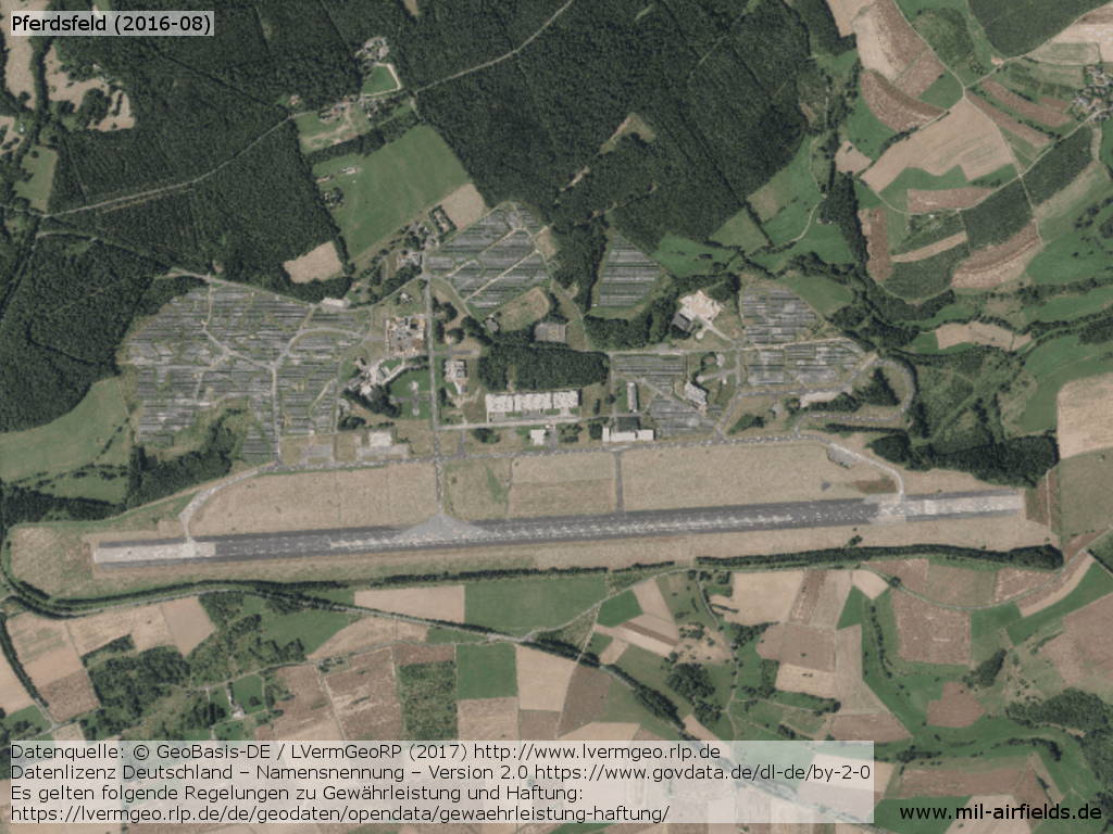
Image credits are shown on the respective target page, click on the preview to open it.
 Follow mil-airfields on Facebook